JAKARTA - Minister of Agrarian Affairs and Spatial Planning/Head of the National Land Agency (ATR/BPN), Nusron Wahid, accelerates the creation of basic maps to support Spatial Planning (RTR) and land registration.
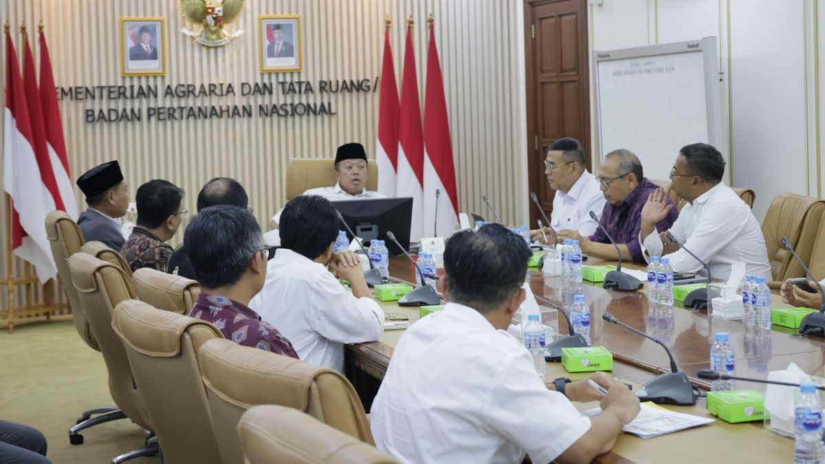
This was said by Nusron when receiving an audience from the Head of the Geospatial Information Agency (BIG), Muh Aris Marfai in the Ministerial Meeting Room, Tuesday, October 29.
This meeting discussed the strengthening of synergy and collaboration between the Ministry of ATR/BPN and BIG in accelerating the creation of basic maps to support the Spatial Planning (RTR) and land registration.
Minister Nusron welcomed the collaboration that has been running so far because it has encouraged the success of the land registration program as well as spatial planning which is the responsibility of the Ministry of ATR/BPN.
SEE ALSO:
Even so, according to him, joint work with other parties is still needed to accelerate mapping throughout Indonesia. Therefore, he appealed to hold meetings with a number of related parties in order to achieve a comprehensive mapping of land parcels.
Also attending to accompany the Minister of Nusron, Deputy Minister of ATR/Deputy Head of BPN, Ossy Dermawan and a number of Officials of the Middle High Leadership and Primary Ministry of ATR/BPN.
The English, Chinese, Japanese, Arabic, and French versions are automatically generated by the AI. So there may still be inaccuracies in translating, please always see Indonesian as our main language. (system supported by DigitalSiber.id)
