

JAKARTA - The Meteorology, Climatology and Geophysics Agency (BMKG) through its official website predicts that the Jakarta area will be thick cloudy throughout Monday. Based on information from the @infobmkg Instagram account, thick clouds covered the Jakarta area from 01.00-22.00 WIB.
The air temperature in Jakarta is estimated to be in the minimum range of 24 degrees to 32 degrees Celsius. In addition, the BMKG also stated that wind speeds range from 313 kilometers per hour.
Meanwhile, the majority of major cities in Indonesia were hit by rain accompanied by lightning and light intensity, to thick clouds on Monday, September 2. So that all parties are asked to be aware of the potential that can accompany it.
BMKG forecaster Ida Pramuwardani, in a report monitored in Jakarta, explained that the potential for light intensity rain or with rainfall less than 2.5 mm per hour is predicted to flush the cities of Gorontalo, Palu, Medan, Mataram, Denpasar, Ternate, Jayapura, Samarinda, Tanjung Selor.
Some other cities such as Ambon, Nabire, Sorong, Jayawijaya, Padang, Bengkulu, Mamuju are predicted to experience moderate rain or rainfall of more than 4.0 mm per hour.
The forecast for rain accompanied by lightning will occur in Tanjung Pinang, Manado, Jambi, Palembang, Pangkal Pinang, Pontianak, Palangka Raya, Banjarmasin with temperatures ranging from 24-32 Celsius.
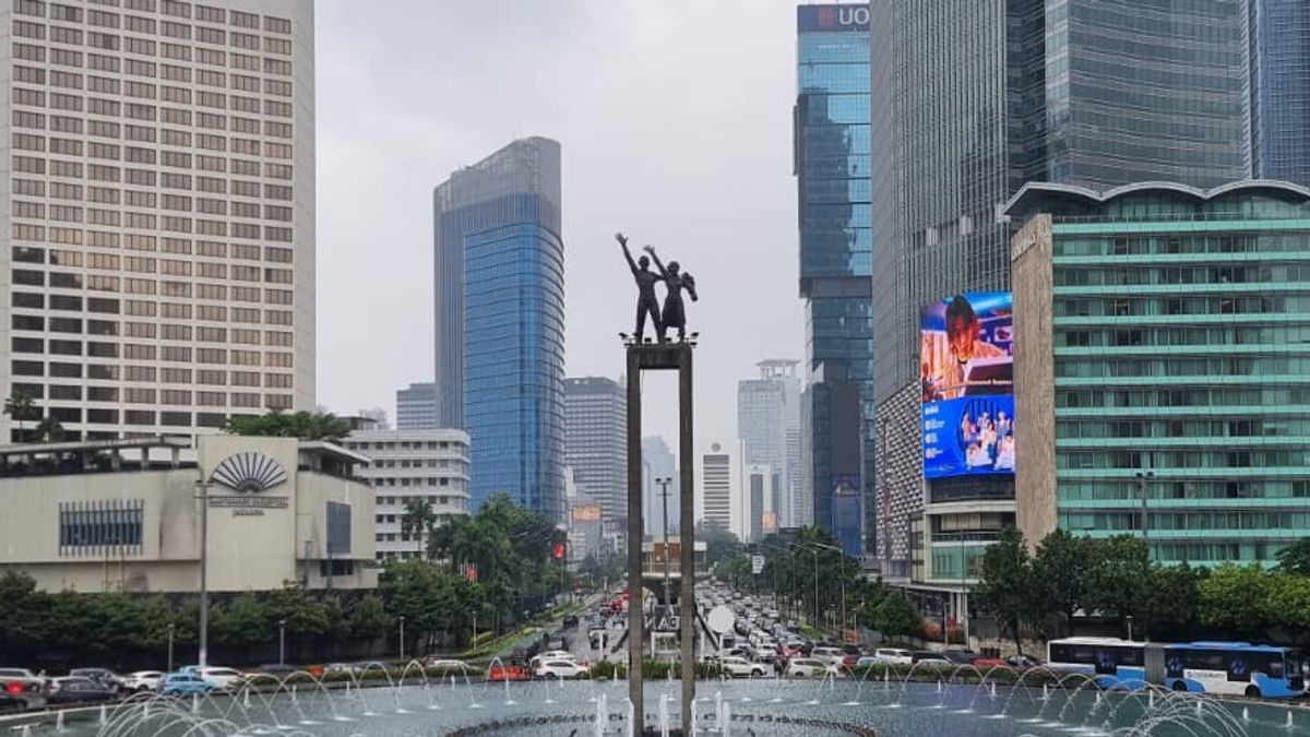
Meanwhile, Pekanbaru City, Yogyakarta, Kupang, Kendari, Manokwari, Banda Aceh, Lampung, Serang, Bandung, Semarang, Surabaya, Jakarta, and Makassar are forecasted to be foggy and cloudy throughout the day with temperatures ranging from 25-31 Celsius.
SEE ALSO:
-
 | BERITA
Cerita Keluarga Korban Kali Bekasi, Pamit Bareng Tetangga ke Acara Makan-makan
24 September 2024, 13:02


The BMKG explained that the Khrathon Cyclone was observed in the Philippine Sea which was able to increase wind speed and the growth of rain clouds around it to the South China Sea.
Cyclonic circulation was observed in the southern part of the Makassar Strait to affect wind speed and rain cloud growth on the east coast of East Kalimantan, South Kalimantan. Similar conditions are also predicted to occur in Central Java-East Java, and West Papua- Maluku by the circulation of cyclones in the area.
In this case, the surface wind in Indonesia is generally dominated by winds blowing from the East at a speed of 5-55 kilometers per hour. Beware of the potential for ROB flooding on September 30, 2024 on the Coast of Central Java and the western part of the Surabaya Coast.
The English, Chinese, Japanese, Arabic, and French versions are automatically generated by the AI. So there may still be inaccuracies in translating, please always see Indonesian as our main language. (system supported by DigitalSiber.id)
Most Popular Tags
#Prabowo Subianto #donald trump #2026 World Cup #venezuela #konflik timur tengahPopular


