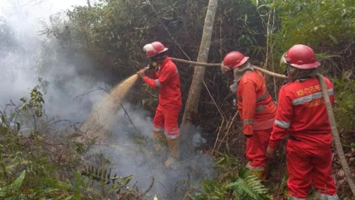
The Regional Disaster Management Disaster (BPBD) of South Sumatra Province noted that the burned land in the area reached 2,984 hectares for the January-August 2024 period.
The Head of Emergency Management of the South Sumatra BPBD Sudirman in Palembang, Monday, said that until August 2024, the burned land in South Sumatra reached 2,948 hectares. For the burning land of Musi Banyuasin (Muba) 1,702 hectares, North Musi Rawas (Muratra) 311.5 hectares, Banyuasin 189.4 hectares, Ogan Komering Ilir (OKI).
Then, Muara Enim 180.3 hectares, Penukal Abab Lematang Ilir (PALI) 124.7 hectares, Ogan Ilir 86.3 hectares, Musi Rawas: 75.2 hectares, Ogan Komering Ulu (OKU) Timur 39.6 hectares, OKU 21.8 hectares, Palembang City 20.7 hectares, and Prabumulih 10.8 hectares.
Meanwhile, the other five areas, namely Lubuklinggau, Lahat, South OKU, Empat Lawang and Pagar Alam, were not burned.
A total of 2,948.1 hectares of land burned this year, 1,548.1 hectares of which occurred on mineral land and 1,364 hectares on peatlands. Muba became the area with the most burning area of 1,702 hectares in the January-August 2024 period," he said as reported by Antara.
SEE ALSO:
He said the land burned throughout January-August 2024 was no higher than the same period in 2023 which reached 4,162.3 hectares.
However, this year it is wider than the same period in 2020 which reached 834.4 hectares, 2021 covering an area of 2,003.2 hectares, and 2022 covering an area of 2,769.5 hectares.
"We hope that this year will not be wider than the previous year, considering that the peak of the dry season has passed by the end of July-August 2024," said Sudirman.
The English, Chinese, Japanese, Arabic, and French versions are automatically generated by the AI. So there may still be inaccuracies in translating, please always see Indonesian as our main language. (system supported by DigitalSiber.id)
