

JAKARTA - The Meteorology, Climatology and Geophysics Agency (BMKG) said the 5.2 magnitude (M) earthquake on the South Coast of Alor, East Nusa Tenggara (NTT) was due to a collision zone or collision.
"By paying attention to the location of the epicenter and the depth of the hypocenter, the earthquake that occurred was a medium earthquake due to the collision zone or collision. The results of the analysis of the source mechanism show that the earthquake has a thrust fault mechanism," said Head of BMKG Alor Sumawan, Tuesday, September 10, quoted by Antara.
On Tuesday 10 September 2024 at 12.11.07 WIB, the South Coast area of Alor was rocked by the M 5.2.
The epicenter of the earthquake was located at coordinates 8.88 degrees South Latitude; 124.27 degrees east longitude, or precisely located in the sea at a distance of 72 km southwest of Alor, East Nusa Tenggara at a depth of 90 km.
This earthquake had an impact and was felt in the Soe area, South Central Timor Regency with an intensity scale of II-III MMI (Vibrations felt real in the house. Feels the vibration as if the truck is passing).
The modeling results show that this earthquake has no potential for a tsunami.
SEE ALSO:
-
 | BERITA
Usut Dugaan Korupsi APD, KPK Garap Sesditjen Farmalkes Kemenkes Hari Ini
09 September 2024, 13:33 -
 | BERITA
Sekjen Gerindra Beri Sinyal Pertemuan Megawati-Prabowo Digelar Sebelum Pelantikan Presiden
09 September 2024, 15:46 -
 | BERITA
Agresi Israel ke Palestina Masuk Bulan ke-12, Harapan Gencatan Senjata Menipis
09 September 2024, 13:10 -
 | BERITA
SBY: Prabowo Punya Idealisme Hingga Sasaran Tapi 'Cuaca Tak Selalu Cerah'
09 September 2024, 13:12 -
 | BERITA
273 Jenazah Anak-anak Ditemukan Dalam Lubang Kubur 3,6x3,6 di Oldham Inggris
06 September 2024, 19:04 -
 | BERITA
721 Anak Korban Malpraktik di RS London, Diamputasi hingga Alami Kaki Panjang Sebelah
09 September 2024, 15:22
As of 12.45 WIB, the results of BMKG monitoring have not shown any aftershock activity.
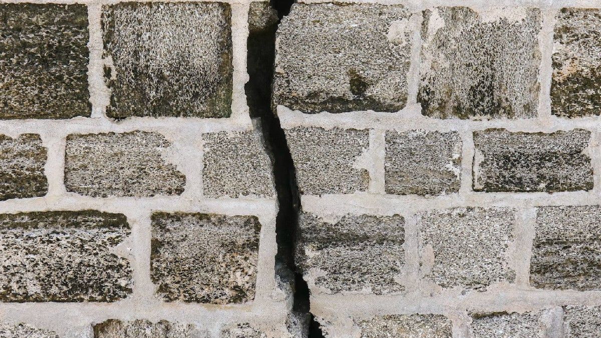
The public is advised to remain calm and not be influenced by issues that cannot be justified. In order to avoid buildings that are cracked or damaged by the earthquake.
Check and make sure the building where you live is earthquake-resistant enough, or there is no damage due to earthquake vibrations that endanger the stability of the building before you return to the house.
The English, Chinese, Japanese, Arabic, and French versions are automatically generated by the AI. So there may still be inaccuracies in translating, please always see Indonesian as our main language. (system supported by DigitalSiber.id)


