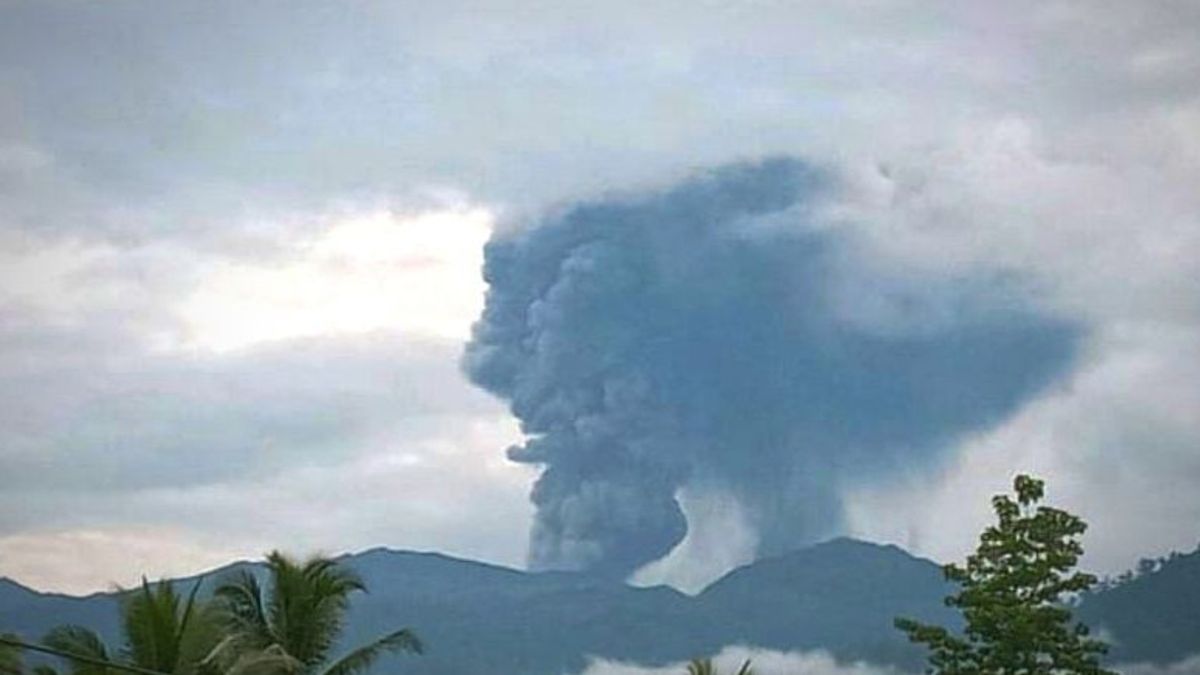


JAKARTA - Mount Dukono on Halmahera Island, North Maluku, erupted and breathed ash approximately 1.2 kilometers high.
Head of the Geological Agency M Wafid said this eruption was recorded on a seismogram with an amplitude of 11 mm which caused an earthquake vibration length of 119.92 seconds.
The eruption phenomenon occurred at 17.56 WIT. Referring to the records of the Geological Agency, the eruption was the first since May 2024.
Officers from the observation post of Mount Dukono observed the height of the gray to black ash column with moderate to thick intensity to the south and southwest.
Due to this eruption, the Geological Agency determined the status of Mount Dukono at Level II or Alert.
The Geological Agency appealed to the people around Mount Dukono and tourists not to move within a 3 kilometer radius of the Maupang Wariran Crater.
Likewise, if it is affected by ash rain, people are expected to always wear masks or nose coverings to avoid the dangers of respiratory system problems.
SEE ALSO:
-
 | BERITA
Jakarta Butuh Rp600 Triliun Jadi Kota Global Selepas Perpindahan Ibu Kota
09 Juli 2024, 16:59


The public is also asked to remain calm by not being influenced by information other than from the Geological Agency or other official government institutions. If there is an increase in status or activity, it will be immediately informed through observation post officers and or other related institutions.
Mount Dukono consists of several craters with a height of 1,335 MDPL located in the northern part of Halmahera Island, or about 34 kilometers from Mount Ibu.
The closest settlement is 11 kilometers from the summit of the volcano. Tobelo City as the densest settlement in North Halmahera is 14 kilometers adrift of Mount Dukono.
The English, Chinese, Japanese, Arabic, and French versions are automatically generated by the AI. So there may still be inaccuracies in translating, please always see Indonesian as our main language. (system supported by DigitalSiber.id)


