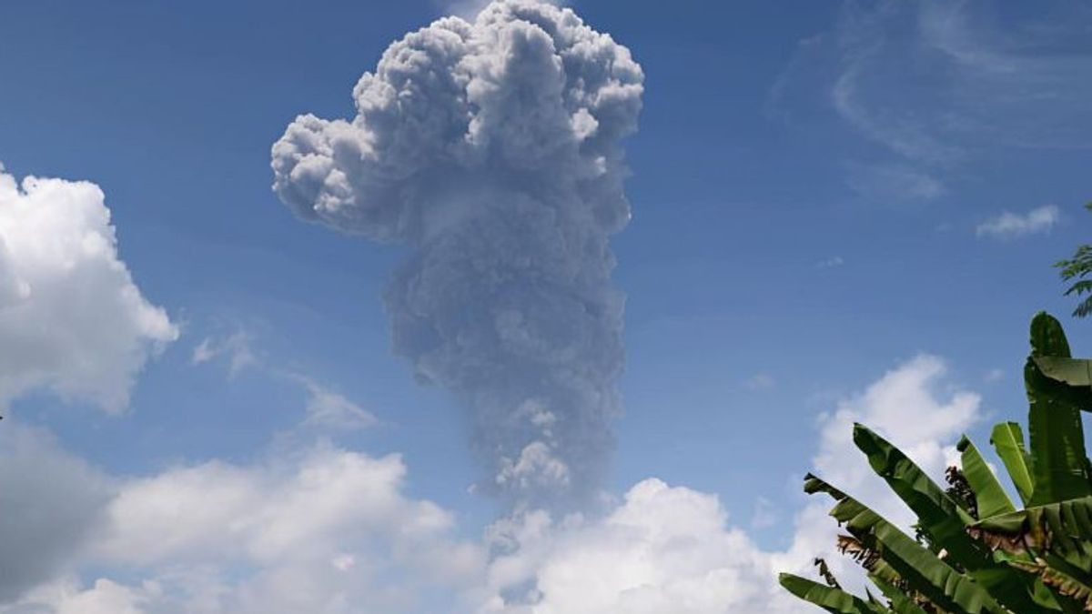


JAKARTA - The eruption of Mount Ibu, which is located northwest of Halmahera Island, North Maluku (Malut), catapulted volcanic ash clouds as high as approximately five kilometers (KM) from the top of the volcano with the status type. Mount Ibu Observation Post officer Ridwan Djalil said the eruption occurred this afternoon at 11.36 WIT. The thick ash column is leaning towards the southwest and west. "The eruption was recorded on a seismogram with a maximum amplitude of 28 millimeters and a temporary duration of approximately 2 minutes 37 seconds," said Ridwan in a report quoted by ANTARA in Jakarta, Monday, May 20. The mother's building has a peak height of 1,340 meters above sea level. administratively included in the area of Ibu District, West Halmahera Regency, North Maluku Province.
The Geological Agency of the Ministry of Energy and Mineral Resources made visual and instrumental observations of the volcanic observation post located in Gam Ici Village, Ibu District, West Halmahera Regency, North Maluku. On May 16, 2024, at 15.00 WIT, the Geological Agency officially raised the status of Mount Ibu from alert or level III to alert or level IV.
SEE ALSO:


The decision to raise this status was due to an increase in the number of earthquakes and eruptions of volcanic ash which tended to be higher than usual. The community around Mount Ibu and visitors or tourists are asked not to move, climb, and approach Mount Ibu within a radius of four kilometers and sectorally seven kilometers from the direction of the crater opening in the northern part of the active crater.
The English, Chinese, Japanese, Arabic, and French versions are automatically generated by the AI. So there may still be inaccuracies in translating, please always see Indonesian as our main language. (system supported by DigitalSiber.id)
Most Popular Tags
#Prabowo Subianto #donald trump #Febrie Adriansyah #8791 #giias 2026Popular


