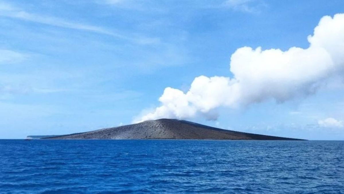
South LAMPUNG - Center for Volcanology and Geological Hazard Mitigation (PVMBG), informed the status of Mount Anak Krakatau, which is in the waters of the Sunda Strait of South Lampung Regency, to level II (alert).
"Yes, from April 19, 2024, at 12.00 WIB the status was lowered from level III alert, to level II alert," said Head of the Mount Anak Krakatau Monitoring Post in Hargopancuran, Rajabasa, South Lampung, Andi Suardi, as reported by ANTARA, Friday, May 17.
PVMBG recommends the public not to approach Mount Anak Krakatau or move within a two-kilometer radius of the active crater.
The closest settlement of Mount Anak Krakatau is located on Sebesi Island, which is 16.5 kilometers away.
SEE ALSO:
"Currently Mount Anak Krakatau is at level II, Alert to be radiative to 2 kilometers, which are not allowed to approach active craters, both tourism and tourists, as well as fishermen," he said.
Since the birth of Mount Anak Krakatau in June 1927 until now, eruptions have occurred repeatedly, so that Mount Anak Krakatau grows bigger and higher.
The English, Chinese, Japanese, Arabic, and French versions are automatically generated by the AI. So there may still be inaccuracies in translating, please always see Indonesian as our main language. (system supported by DigitalSiber.id)
