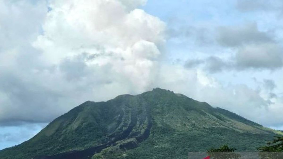
JAKARTA - The Geological Disaster Volcanology and Mitigation Center (PVMBG) of the Geological Agency has officially raised the status of Mount Ruang to level IV or WAS since last Wednesday at 21.00 WITA. The highest level increase for volcanic status was carried out after Mount Ruang showed that volcanic activity had continued to increase since the beginning of this month.
The results of instrumental records released by PVMBG, on April 16, 2024 at 21:45 WITA, Mount Ruang experienced an explosive eruption with an estimated column height of 2,000 meters from the summit. This condition continued to increase until the ash column reached 2,500 meters from the peak on April 17, 2024 at 01.08 WITA.
Then at 21.15 WITA, an explosive eruption occurred again with a column of gray to black ash with a height of about 3,000 meters accompanied by rumbling sounds and earthquakes that were also felt at the Ruang Ruang Volcano Observation Post.
Reports from the Regional Disaster Management Agency (BPBD) of Sitaro Regency, the eruption of Ruang Volcano caused ash rain accompanied by stones and pebbles and reached residential areas on the Tamulandang coast. Several residents were reported to have been hit by the ejection of gravel and rocks and had received intensive treatment.
"In order to avoid the impact of a more severe eruption, the Sitaro Regency Government went through, evacuating 828 local residents with details as many as 506 residents of Laingpatehi Village and 322 residents of Pumpente Village," said Head of the BNPB Disaster Data, Information and Communication Center Abdul Muhari, Thursday 18 April.
The refugee camps are at SMP Negeri 1 Tagulandang with 45 people and approximately 783 other people at relatives' homes on the mainland of Tagulandang Island.
The Sitaro Regency BPBD continues to coordinate with cross-related agencies for monitoring, rapid assessment and efforts to save the affected communities. BPBD has also provided assistance in the form of 123 mats, 123 blankets and 400 masks to the public.
The Sitaro Regency Government together with related parties are also preparing a means of transportation to evacuate residents using the Ferry Ship KMP Lokong Banua and KMP Lohoraung plus ferry boats belonging to residents. In addition, Basarnas also dispatched KM Bima Sena to assist the evacuation process for residents.
As an effort to accelerate the handling of daruat, the Regent of the Siau Islands, Tagulandang Biaro (Sitaro) has determined the Emergency Response Status through the Sitaro Regent Decree Number 100/2024 as of 14 days starting April 16-29, 2024. This period of Emergency Response period is dynamic and can be extended according to the provisions by looking at conditions in the field.
With the increase in level IV or 'Alert', PVMBG has issued several recommendations for the surrounding community/visitors/tourists to remain vigilant and not enter a 6 km radius area from the active crater center of the Ruang Volcano.
People who live in the Tagulandang Island area and are within a 6 km radius should immediately be evacuated to a safe place outside the 6 km radius. People on Tagulandang Island, especially those living near the beach, should be aware of the potential for incandescent rock, hot clouds (surgery), and tsunami waves that can be triggered by volcanic collapse into the sea.
SEE ALSO:
The public is advised to always use masks, to avoid exposure to volcanic ash that can disrupt the respiratory system.
The community around G. The room is expected to be calm, active as usual, not provoked by issues about the eruption of G. Space and continue to follow developments in spatial Gunungapi activities from authorities such as the Ruang Volcano Observation Post, PVMBG, BNPB, BPBD and others.
The English, Chinese, Japanese, Arabic, and French versions are automatically generated by the AI. So there may still be inaccuracies in translating, please always see Indonesian as our main language. (system supported by DigitalSiber.id)


