

Towards the end of the Lebaran homecoming moment, a number of areas in the country were hit by bad weather. The Meteorology, Climatology and Geophysics Agency (BMKG) recently appealed to people in East Nusa Tenggara (NTT) to be more vigilant in dealing with extreme weather at the beginning of this week until April 20.
"Be aware of strong winds, tornadoes, rain, on the second basis of April or until April 20," said Head of Class II Meteorological Station El Tari Kupang Sti Nenotek when contacted from Solor, East Flores Regency, Monday, confiscated by Antara.
The potential for rain and strong winds is caused by vortex inflows or cyclonic circulation around the Flores Island area.
It forms a meeting area and wind bends in the NTT region.
In addition, the NTT region is during the transition period of the rainy season to the dry season or transition.
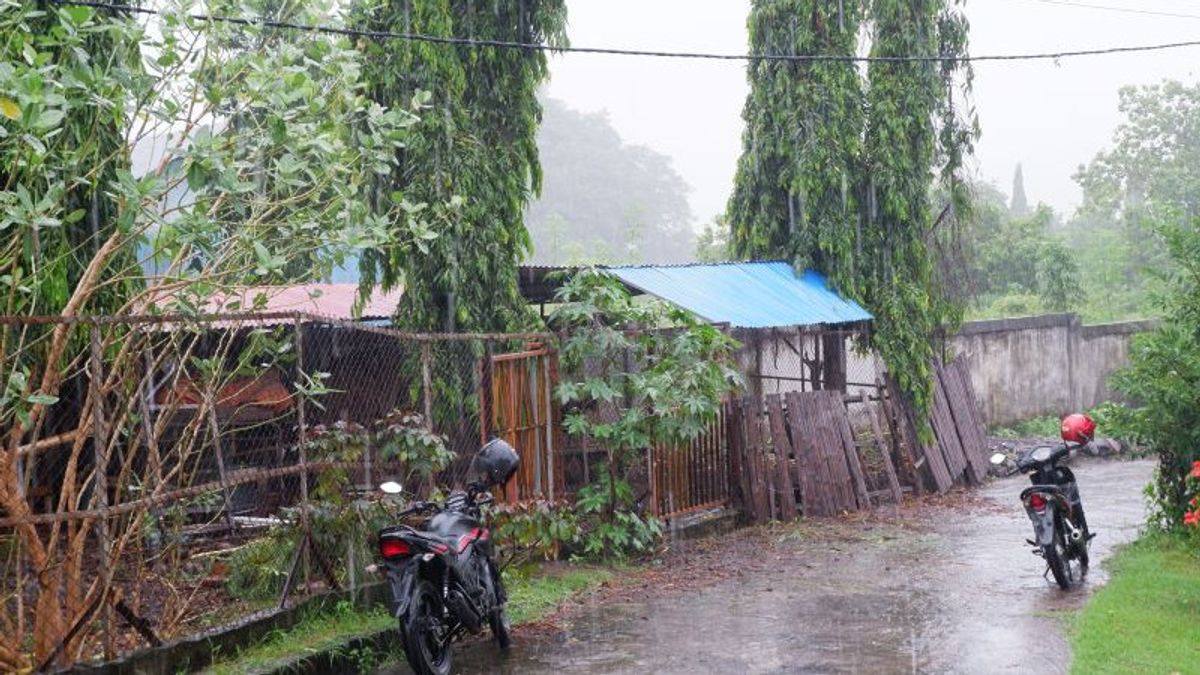
For this reason, BMKG reminds the public to be aware of the potential for hydrometeorological disasters that occur during the transition period, such as short strong winds, tornadoes, and sporadic rain in a short, local duration.
He also reminded residents about the potential for flooding, landslides, and lightning strikes, fallen trees, and collapsed billboards.
Sti advised the public to be careful when carrying out activities in the midst of such weather conditions.
In particular, he advised road crossers to be aware of potential disasters in areas prone to landslides.
"Be careful in your activities, anticipate by self-evacuating if heavy rains, especially in areas prone to landslides," said Sti.
The English, Chinese, Japanese, Arabic, and French versions are automatically generated by the AI. So there may still be inaccuracies in translating, please always see Indonesian as our main language. (system supported by DigitalSiber.id)
Most Popular Tags
#Prabowo Subianto #donald trump #2026 World Cup #venezuela #konflik timur tengahPopular


