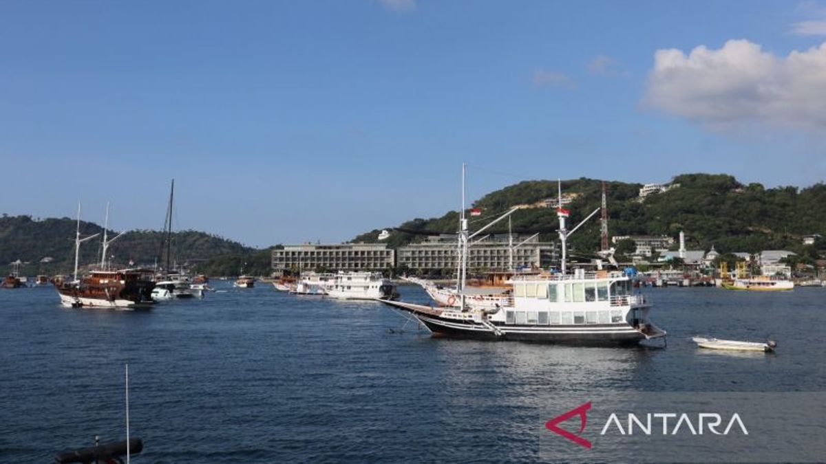
JAKARTA - The Meteorology, Climatology and Geophysics Agency (BMKG) appealed to fishermen and tourism actors who sailed in the waters of Labuan Bajo to increase their vigilance when clouds on the sky began to appear, such as gray or black white cauliflowers. These clouds are cumulonimbus clouds or lightning clouds that have the potential to cause strong winds and trigger a wave height increase of more than predicted. "If in the land area there is a potential for tornadoes to occur, the same thing can also happen in the sea," said Head of Komodologous Meteorological Station Maria Patricia Christin Seran when contacted in Labuan Bajo, West Manggarai Regency, East Nusa Tenggara (NTT), Monday, April 1, confiscated by Antara. He explained that the tornado in the sea area is called a waterspout. He said the forecast for high waves, his party referred to a wave forecast from the Tenau-Kupang Maritime Station. The waters of Labuan Bajo tourism, he said, are located in the two water areas, namely the northern and southern Sape Strait. For the northern Sape Strait the wave height is still in the low category or 0.25 -1.25 meters and the southern Sape Strait is around 1.25-2.5 meters or moderate categories.
SEE ALSO:
The English, Chinese, Japanese, Arabic, and French versions are automatically generated by the AI. So there may still be inaccuracies in translating, please always see Indonesian as our main language. (system supported by DigitalSiber.id)
