

JAKARTA - Mount Semeru, which is on the border of Lumajang Regency with Malang, East Java, experienced a three-time eruption. Where there was an eruption of up to 1 kilometer on Saturday.
Semeru Volcano Observation Post officer, Liswanto, said that there had been an eruption of Mount Semeru on March 9, 2024 at 08.28 WIB, at 07.06 WIB, and at 06.23 WIB.
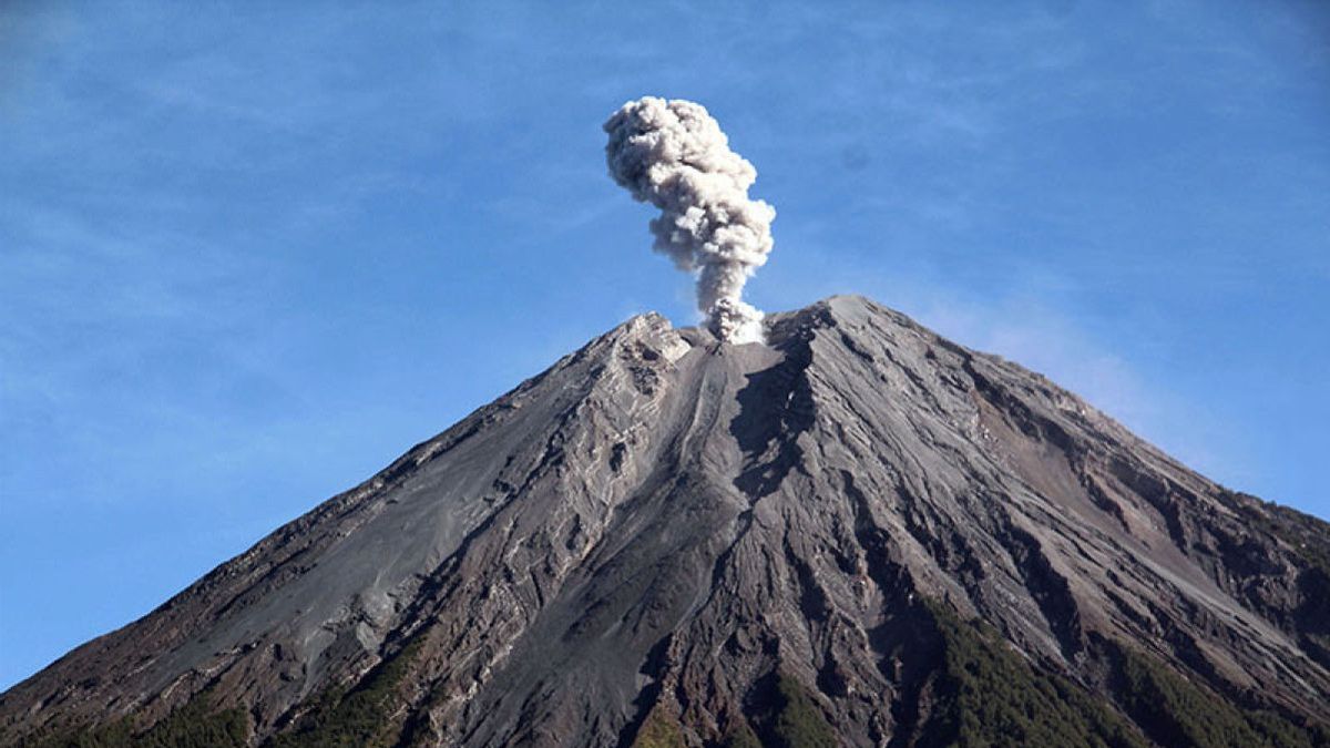
"At 08.29 WIB, the height of the eruption column was observed to be about 1,000 meters above the peak or about 4,676 meters above sea level," he said, quoting Antara.
According to him, the ash column was observed to be white to gray with moderate intensity to the northeast and when the report was made, the eruption was still ongoing.
Previously, at 07.06 WIB there was also an eruption of Semeru with a height of volcanic ash columns observed about 700 meters above the peak or 4,376 meters above sea level.
The ash column was observed to be white to gray with moderate intensity to the north and when the report was made, the eruption was still ongoing.
The previous eruption also occurred at 06.23 WIB with a column height of volcanic ash observed about 800 meters above the peak or about 4,476 meters above sea level.
The ash column was observed to be white to gray with moderate to western intensity.
SEE ALSO:
Mount Semeru is still on Alert or Level III status, so PVMBG recommends that people are prohibited from carrying out any activities in the southeast sector along Besuk Kobokan, as far as 13 km from the summit.
Beyond this distance, the public is asked not to carry out activities at a distance of 500 meters from the riverbank (river border) along Besuk Kobokan because it has the potential to be affected by the expansion of hot clouds and lava flows up to a distance of 17 km from the summit.
Then the community should not move within a 5 km radius of the crater/peak of Mount Semeru because it is prone to the danger of throwing stones (pijar).
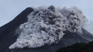
The public is also advised to be aware of the potential for hot clouds, lava avalanches, and lahars along rivers/valleys that originate at the top of Mount Semeru, especially along Besuk Kobokan, Besuk Bang, Besuk Kembar, and Besuk Sat, as well as the potential for lahars in small rivers that are tributaries of Besuk Kobokan.
The English, Chinese, Japanese, Arabic, and French versions are automatically generated by the AI. So there may still be inaccuracies in translating, please always see Indonesian as our main language. (system supported by DigitalSiber.id)


