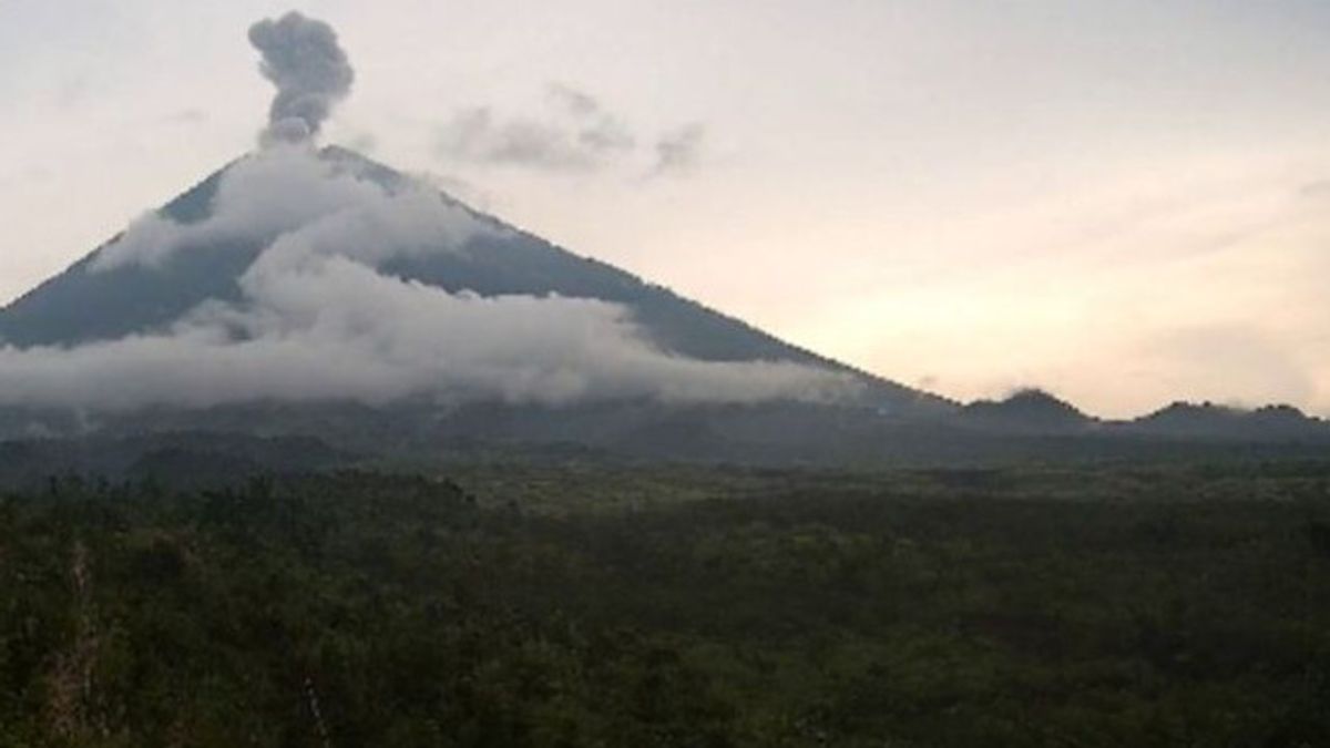


Mount Semeru, which is on the border of Lumajang Regency with Malang, East Java, erupted with an eruption column height of about 800 meters above the peak.
"There was an eruption of Mount Semeru on Wednesday, March 6, 2024 at 17.02 WIB with an eruption column height observed about 800 meters above the peak or 4,476 meters above sea level," said Mount Semeru Observation Post Officer Ghufron Alwi as quoted by ANTARA, Wednesday, March 6.
According to him, the ash column was observed to be white to gray with thick intensity to the west and northwest. The eruption was recorded on a seismograph with a maximum amplitude of 22 mm and a duration of 107 seconds.
Previously, Mount Semeru also experienced an eruption at 16.00 WIB with a height of volcanic ash column was observed about 500 meters above the peak.
The volcanic ash column was observed to be white to gray with thick intensity to the northeast. The eruption was recorded on a seismograph with a maximum amplitude of 22 mm and a duration of 117 seconds.
The mountain, which has a height of 3,676 meters above sea level, was recorded to have experienced five eruptions today, namely at 05:52 WIB, 06.49 WIB, 07.48 WIB, 16.00 WIB, and 17.02 WIB.
SEE ALSO:


The highest mountain on the island of Java is still on alert or level III, so people are prohibited from carrying out any activities in the southeast sector along Besuk Kobokan, as far as 13 km from the summit (the center of the eruption).
Beyond this distance, the public is asked not to carry out activities at a distance of 500 meters from the riverbank (river border) along Besuk Kobokan because it has the potential to be affected by the expansion of hot clouds and lava flows up to a distance of 17 km from the summit.
The English, Chinese, Japanese, Arabic, and French versions are automatically generated by the AI. So there may still be inaccuracies in translating, please always see Indonesian as our main language. (system supported by DigitalSiber.id)


