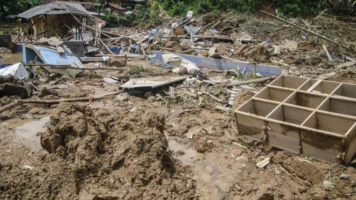
The Center for Volcanology and Disaster Mitigation (PVMBG) of the Geological Agency of the Ministry of Energy and Mineral Resources said that heavy rain was the cause of landslides in Cipondok, Pasanggrahan Village, Subang Regency.
"So it's because of heavy rains whose water continues to enter the basins, causing debris or runoff of water and landslides at that location," said Head of the West Region Land Movement Sub-Coordinator PVMBG of the Sumaryono ESDM Geological Agency as reported by ANTARA, Wednesday, January 10.
He explained, at the time before and during the landslide, the rainfall in the area was experiencing an anomaly, reaching 200 mm, which usually cumulatively rained in 15 to 20 days which then entered the basin.
"Information from the BMKG in two days reaches 200 mm, it rains which are usually 200 mm in 15-20 days, and imagine it will be reduced in two days," he said.
Morphologically, these areas are prone to landslides and landslides often occur, so it is not for other reasons, such as the activities of drinking water companies there.
"So morphologically this area is prone to landslides which have also occurred before the company's activities," he said.
SEE ALSO:
Sumaryono explained that at the point of the incident, at least landslides had occurred, and slopes at the location which were steep morphologically showed old landslides.
"Only this time it is bigger and there is still the potential for another landslide. Where the cracks are also still at the top of the slope," he said.
A landslide occurred in Cipondok Village, Pasanggrahan Village, Kasomalang District, Subang Regency, on Sunday (7/1) at around 17.30 WIB.
The natural disaster left nine people injured and two people dead buried by landslides and 49 people displaced.
The English, Chinese, Japanese, Arabic, and French versions are automatically generated by the AI. So there may still be inaccuracies in translating, please always see Indonesian as our main language. (system supported by DigitalSiber.id)


