

West Sumatra Governor (West Sumatra) Mahyeldi reminded the public around the river that originates in Mount Marapi to be aware of the potential for cold lava floods when the intensity of rain increases.
"If the intensity rain is more than three hours, the people around the river that originates at Mount Marapi must be vigilant," he said in Padang, Monday, December 18, which was confiscated by Antara.
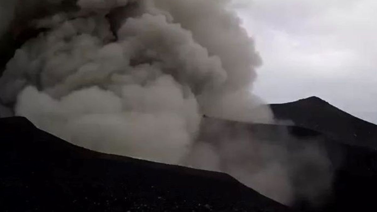
He said that based on data from the Sumatra River Basin Center (BWSS) V, there are around 23 rivers that originate from Mount Marapi, all of which have the potential to flow cold lava, or flash floods if the intensity of rain increases.
According to him, the relevant parties are currently collecting data to see rivers that have a high potential for cold lava floods.
"As soon as possible this information will be conveyed to the public," he said.
Meanwhile, the Chief Executive (BPBD) of West Sumatra, Rudy Rinaldy, said, based on information from BWSS V from 23 rivers that originate at Mount Marapi, all have the potential for cold lava flooding, although the possibility depends on several factors.
If the potential is 23 rivers, there is potential, depending on which upstream river there is a lot of dust and sand material. But not all of them will flow once a flood of appeals if it rains heavily," he said.
SEE ALSO:
-
 | BERITA
Bawaslu Kaji Mayor Teddy Hadiri Debat Capres Diduga Langgar Netralitas TNI
18 Desember 2023, 16:17

It is estimated that the material emitted by the Marapi eruption reached 300 thousand cubic meters. Some of the materials accumulate upstream of the river which can cause cold lava flooding.
"The estimate of the amount of material, if the rain is not so heavy, the potential for flash floods is not so great. However, if heavy or moderate rains with a duration of more than three hours, they must remain vigilant," he said.
The head of BWSS V West Sumatra, Muhammad Dian Al Ma'aruf, said that the party is mapping, which river is the most dangerous and has the potential to cause flash floods. For this reason, his party will deploy a team and coordinate with related parties.
"Now we have not been able to provide information from the 23 rivers, which rivers are dangerous, but we still remind the public," he said.
He said that of the 23 rivers, the directions were spread to a number of areas at the foot of Mount Marapi. Especially towards the Northwest, namely Bukittinggi City via the Pua River.
Because this area also has a smoother surface surface contour. For this reason, residents around Bukittinggi, Canduang and its surroundings should always be vigilant if the intensity of the rain is already high.
The English, Chinese, Japanese, Arabic, and French versions are automatically generated by the AI. So there may still be inaccuracies in translating, please always see Indonesian as our main language. (system supported by DigitalSiber.id)


