

JAKARTA - The Ministry of Marine Affairs and Fisheries (KKP) is collecting evidence of damage to coral reef ecosystems in the Raja Ampat Marine Nature Reserve National Marine Protected Area (KKPN SAP), West Papua.
This step was taken following the sinking of the KM. Sabuk Nusantara 62 ship on February 2, in the west of Yefmo Island, Meosmanggara Village, Waigeo Barat Islands District, Raja Ampat Regency, West Papua.
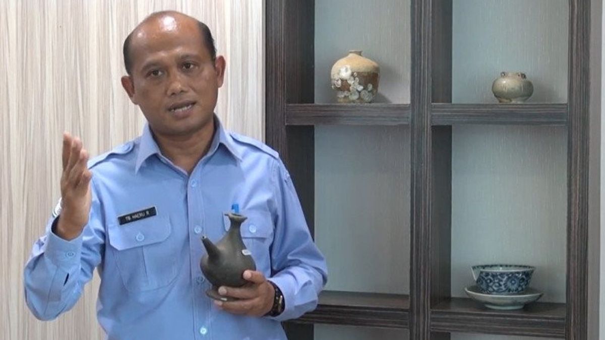
The Director-General of Marine Spatial Management, Haeru Rahayu, deeply regretted this incident. The evidence of damage to coral reefs is being accelerated by local authorities.
As reported by Antara, Sunday, February 14, KM Sabuk Nusantara 62 has a measurement of 750 GT and is a passenger ship and pioneer type goods owned by the Ministry of Transportation operated by PT. Pelayaran Berkat Abadi Jaya Makmur (Surabaya).
The team that investigated this consisted of the National Marine Protected Area (BKKPN) Kupang Raja Ampat Working Area, the Raja Ampat Marine and Fisheries Resources Monitoring Unit (Satwas SDKP), and the Raja Ampat Class II Port Administration Unit (KUPP) Office.
In the vicinity of the incident, some coral damage and fragments were found. There was visible broken or damaged coral along 46 meters with a width varying from 1 to 5 meters at a depth of 1 to 2 meters
The initial results of the investigation revealed that the area of damage to coral reefs was estimated at 230 square meters.
"The ship ran aground like this is very unfortunate because it has great potential to damage marine ecosystems, especially coral reefs. Therefore I have ordered the team in the field to collect evidence of the ecosystem damage that has occurred", explained Haeru.
He explained that evidence of damage to the ecosystem could later be used by law enforcement officials as a basis for prosecuting compensation for damage to coral reef ecosystems due to the incident of this shipwreck.
In a separate place, the Head of the Kupang National Marine Conservation Area Center, Imam Fauzi explained the need for preventive efforts to run aground in the KKPN SAP Raja Ampat while still paying attention to the service of the community's needs for public transportation of pioneer vessels.
"SAP Raja Ampat has a unique seabed contour that can cause the ship to run aground if the skipper does not know its characteristics, therefore it is necessary to compile a shipping lane map and provide anchor points in the KKPN SAP Raja Ampat as a preventive measure in collaboration with the Ministry of Transportation and the Department Raja Ampat Regency transportation", said Imam.
Furthermore, Imam hopes that by providing a map of the shipping lanes and anchoring points, the incident of the ship aground in SAP Raja Ampat can be minimized.
The English, Chinese, Japanese, Arabic, and French versions are automatically generated by the AI. So there may still be inaccuracies in translating, please always see Indonesian as our main language. (system supported by DigitalSiber.id)


