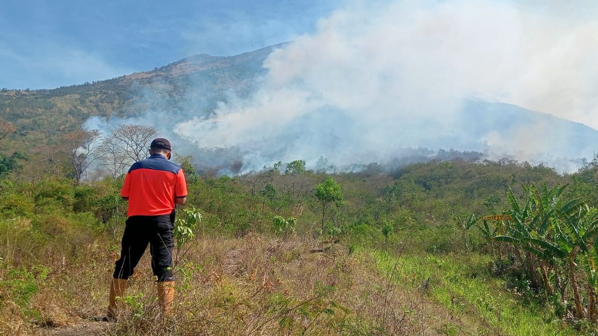


The fire occurred on the slopes of Mount Agung, in Karangasem Regency, Bali.
Secretary of the Regional Disaster Management Agency (BPBD) of Karangasem Regency, Putu Eka Tirtana, said the fire on the slopes of Mount Agung was in the Banjar Dinas Bahas area, Batu Ringgit Village, Kubu District, Karangasem.
"So information from residents at eight in the morning has been observed and at nine in the morning the fire is big," said Eka, Wednesday, September 27.
Currently, the fire that raged was invisible but the smoke was still thick.
"But it might spread because the wind is quite strong here," he added.
Estimated land on the slopes of Mount Agung that burned about 8 hectares
"If you calculate the estimate if it is below (the marble), maybe three hectares. But if it is calculated up to the top area, it can be more than five to eight hectares more," he explained.
The fire is said to be far from the residents' processed land because the fire occurred on the slopes of Mount Agung.
"(The fire) is on the slopes of the mountain. If this is from the boundaries of the residents' processing, maybe about two kilos up. From the BPBD and the Kubu Police, we are temporarily making fire barriers on the boundaries of the residents' land because reaching the hotspots in the mountains is difficult, it has to go up and down the cliff," he said.
The English, Chinese, Japanese, Arabic, and French versions are automatically generated by the AI. So there may still be inaccuracies in translating, please always see Indonesian as our main language. (system supported by DigitalSiber.id)
Most Popular Tags
#Prabowo Subianto #donald trump #2026 World Cup #venezuela #konflik timur tengahPopular


