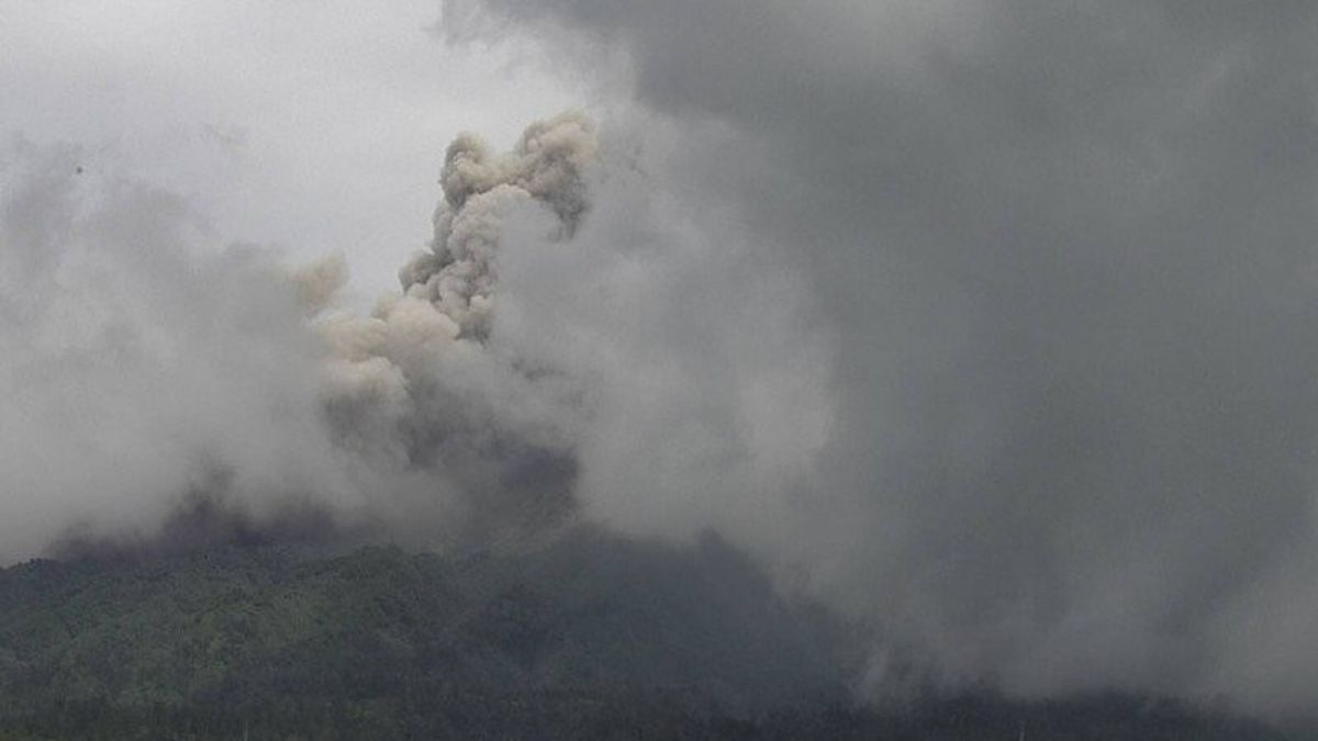


YOGYAKARTA - Mount Merapi on the border of the Special Region of Yogyakarta and Central Java releases volcano-pyroclastic flow with a sliding distance of 2,000 meters to the southwest or the upper reaches of Kali Krasak and Boyong.
The Center for Geological Disaster Research and Technology Development (BPPTKG) said that the volcano-pyroclastic flow of Mount Merapi's avalanche occurred at 10.13 WIB and was recorded on a seismogram with an amplitude of 69 mm and a duration of 175 seconds.
"Unobserved column height, foggy weather, estimated distance of 2,000 m to the southwest (upstream of Kali Krasak & Boyong)", wrote BPPTKG quoted by Antara, Thursday, January 28.
Previously, based on observations on Wednesday from 000.0 to 24.00 WIB, the BPPTKG had recorded 58 volcano-pyroclastic flow from Mount Merapi with a maximum sliding distance of 3,000 meters to the upper reaches of Kali Krasak and Boyong.
In addition, the material of the avalanche was observed four times with a maximum distance of 800 meters to the southwest.
BPPTKG maintains the status of Mount Merapi at Level III or Alert with the current potential hazards in the form of lava avalanche and volcano-pyroclastic flow in the south-southwest sector, including the Boyong, Bedog, Krasak, Bebeng, and Putih rivers for a maximum of five kilometers.
Meanwhile, in the event of an explosive eruption, the eruption of volcanic material can reach a radius of three kilometers from the summit.
The English, Chinese, Japanese, Arabic, and French versions are automatically generated by the AI. So there may still be inaccuracies in translating, please always see Indonesian as our main language. (system supported by DigitalSiber.id)
Most Popular Tags
#Prabowo Subianto #donald trump #Febrie Adriansyah #8791 #giias 2026Popular


