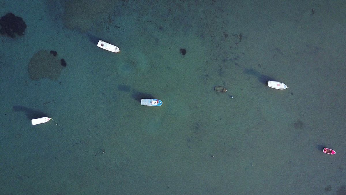


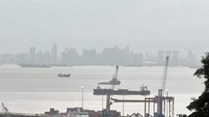
JAKARTA - The Indonesian Navy's Hydro-Oceanography Center (Pushidrosal) is working with survey ships from Australia and France to map the seabed in Indonesia and surrounding waters by 2023.
The Commander of the Indonesian Navy's Hydro-Oceanography Center (Danpushidrosal) Vice Admiral TNI Nurhidayat explained that in this collaboration Indonesia would still map its own territorial waters.
"What is our concern is the sovereignty and independence of the data, we must (who) have. Indonesia must be sovereign. Our area must be surveyed by us," said Laksdya Nurhidayat as quoted by ANTARA, Wednesday, June 21.
He explained that the survey cooperation with France will take place in the near future considering that the French survey ship has sailed to Sabang, Aceh. At the same time, the Pushidrosal survey ship, KRI Spica-934, also sailed to the same place.
Untuk (KRI) Spica sekarang sudah menuju Sabang. Nanti bertemu di sana, kemudian akan berkoordinasi di darat, dan bergerak bersama di laut. Saat di laut, mereka bergerak di luar EEZ (Zona Ekonomi Exklusif). Kita ada di EEZ, mereka (dua kapal itu, red.) saling berkoordinasi, kata Danpushidrosal Laksdya TNI Nurhidayat.
Pushidrosal also placed two technical officers on the French survey ship. Thus, the data obtained by French survey ships was also sent directly to Indonesia.
"On their ship, we put two technical officers. From the two technical officers, we will get real data or original data from them," he said.
Later, the data will be processed and analyzed by Jakarta, and the results will only be submitted to the institution that oversees the French survey ship.
"Here it must be assessed. Here it has become a map, then we will hand it over to France," said Laksdya Nurhidayat.
SEE ALSO:

Meanwhile, the results of a survey at EEZ Indonesia compiled by KRI Spica-934 will also be analyzed in Jakarta.
"The data in our EEZ, we make an assessment into a map. We convey it to map distributors. There are map distributors around the world that we can submit. Later they will distribute it throughout the world so that ships around the world can easily get the data, especially if it is digitally twin. We have stepped on there, "said the Pushidrosal Commander.
Meanwhile, cooperation with Australian survey ships took place in September 2023. The Australian survey ship wants to map their territorial boundaries.
"The data they got we took the original data. We assessed it first, after we assessed the results of the assessment we submitted it to France, to Australia. This is the data we got," said Danpushidrosal.
He conveyed that the existence of the two foreign survey ships shows the importance of mapping the waters around the territory of the Republic of Indonesia.
The English, Chinese, Japanese, Arabic, and French versions are automatically generated by the AI. So there may still be inaccuracies in translating, please always see Indonesian as our main language. (system supported by DigitalSiber.id)
Most Popular Tags
#Prabowo Subianto #donald trump #2026 World Cup #Febrie Adriansyah #8791Popular


