JAKARTA - An earthquake with a magnitude of 4.7 occurred in Pangandaran, West Java. This earthquake occurred due to the activity of the Indo-Australian Plate subduction zone.
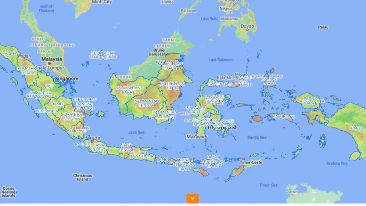
Quoted from the statement of the Meteorology, Climatology and Geophysics Agency (BMKG), the epicenter of the Pangandaran earthquake is located at the coordinates of 8.48 LS and 108.66 East Longitude, or precisely located in the sea at a distance of 88 km Southeast of Pangandaran. The earthquake was 57 kilometers deep.
"By paying attention to the location of the epicenter and the depth of the hypocenter, the earthquake that occurred was a type of shallow earthquake due to the activity of the Indo-Australian Plate subduction zone that was heading under the Eurasian Plate," said information reported by BMKG, Saturday, January 16 in the early hours of the morning.
BMKG said that this earthquake was felt in the Tasikmalaya, Pangandaran, and Cisompet areas with the MMI III Intensity Scale. The earthquake was also felt in Bayongbong, Pamarican, Ciamis, Banjar Pataroman, Cipatujah, Cikajang, Cigedug, Garut with the MMI II Intensity Scale.
"However, until now there have been no reports of damage to buildings as a result of the earthquake," said BMKG.
BMKG urges the public to remain calm and not be affected by issues that cannot be justified.
The English, Chinese, Japanese, Arabic, and French versions are automatically generated by the AI. So there may still be inaccuracies in translating, please always see Indonesian as our main language. (system supported by DigitalSiber.id)


