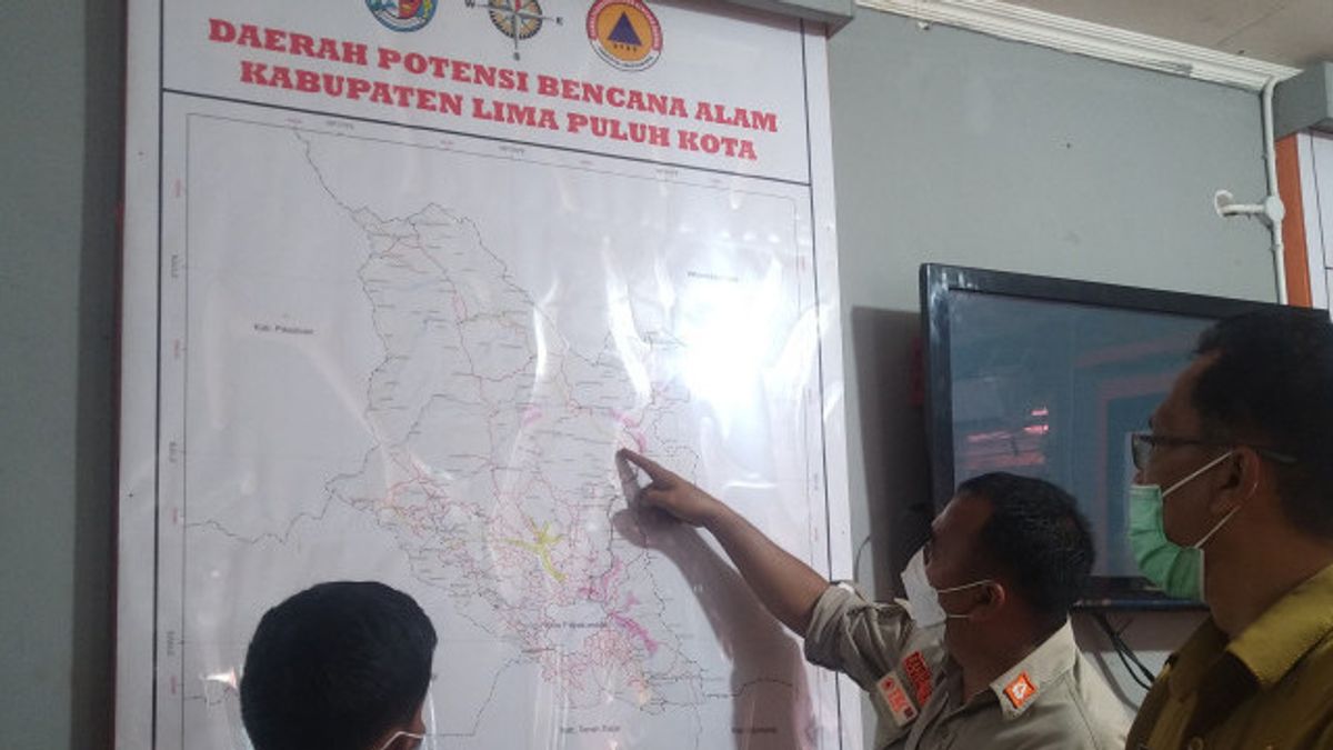
JAKARTA - The Central Java Regional Disaster Management Agency (BPBD) has mapped areas prone to natural disasters to reduce disaster risk during the rainy season.
"We have mapped areas prone to natural disasters so that we can see which points are disaster vulnerabilities," said Head of Central Java BPBD Bergas C Responsibility in Semarang, Wednesday, October 12, as reported by Antara.
With this disaster-prone map, it can reduce disaster risk and the impact it causes.
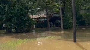
"So it has been seen where areas are prone to landslides, flood-prone areas, of course, flood-prone areas in every government, each region already has data," he said.
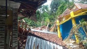
He gave an example of a number of landslide-prone areas in Central Java Province such as Kebumen Regency, Purworejo, Cilacap, Banyumas, where mountainous areas have consequences prone to landslides.
According to him, information about disaster vulnerabilities has been conveyed to the public, but it is necessary for the public to be aware when extreme weather occurs and immediately save themselves to a safe place.
Bergas mencontohkan, kejadian di Kedungmungsung, Kabupaten Kebumen, Sabtu (8/10) yang menimbulkan korban satu orang meninggal dunia.
"If you look at the location, it's half safe because the settlement is far from the cliff, but it turns out that when the cliff slides and closes the river flow, it's the problem, the water leads to another route, which causes fatalities," he said.
The English, Chinese, Japanese, Arabic, and French versions are automatically generated by the AI. So there may still be inaccuracies in translating, please always see Indonesian as our main language. (system supported by DigitalSiber.id)


