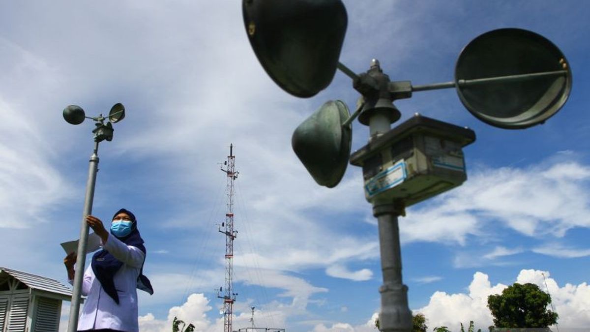


JAKARTA - The Meteorology, Climatology and Geophysics Agency (BMKG) has issued an early warning to be aware of the indirect impact of tropical cyclone 92W in the Philippine Sea.
"Seeds of Tropical Cyclone 92W have been observed in the Philippine Sea. It is estimated that the potential of the system to grow into a tropical cyclone in the next 24 hours is in the low category," said the BMKG official statement quoted by Antara, Wednesday, May 25.
Based on the BMKG analysis, the tropical cyclone has a pressure of 1010 mb with a maximum wind speed of 15 knots moving slowly to the northwest.
The seeds of tropical cyclone 92W can cause moderate to heavy rain in the next 24 hours in North Sulawesi and North Maluku.
In addition, high sea waves can also occur in the range of 1.25 meters to 2.5 meters in the northern waters of the Sangihe - Talaud Islands, North Maluku Sea, northern and eastern waters of Halmahera, Halmahera Sea, northern waters of West Papua, northern waters of Biak - North Pacific Ocean West Papua.
There are also sea waves as high as 2.5 meters to 4 meters are predicted to occur in the North Pacific Ocean of Halmahera.
BMKG continues to monitor the possibility of tropical cyclones that can have an impact on weather conditions in Indonesian territory.
The English, Chinese, Japanese, Arabic, and French versions are automatically generated by the AI. So there may still be inaccuracies in translating, please always see Indonesian as our main language. (system supported by DigitalSiber.id)


