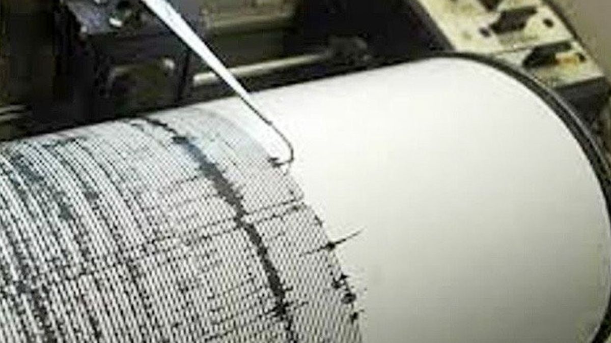


MAKASSAR - An earthquake occurred in Selayar, South Sulawesi. Two earthquakes were recorded in Selayar soon.
Quoted from information from the Meteorology, Climatology and Geophysics Agency (BMKG), the first Selayar earthquake occurred at 19.33 WIB. The magnitude of the Selayar earthquake was 4.4.
The depth of the earthquake was recorded at 4 km with coordinates 6.70 South Latitude-120.61 East Longitude. The epicenter of the earthquake as reported by the BMKG was in the sea 47 km southeast of Selayar.
#Earthquake Felt Magnitude: 5.2, Depth: 10 km, 30 Apr 2022 20:04:59 WIB, Coordinates: 6.67 South Latitude-120.70 East Longitude (Earthquake epicenter was at sea 47 km Southeast of Selayar), Felt (MMI): #BMKG https://t.co/OiHiTwdNUp
— BMKG (@infoBMKG) April 30, 2022
SEE ALSO:


Then followed the 5.2 earthquakes at 20.04 WIB or 21.04 WITA. The location of the 5.2 Selayar earthquake was at 6.67-LS 120.70. The location of the second Selayar earthquake is 47 km southeast of Selayar.
"The depth is 10 km, there is no potential for a tsunami", said BMKG information.
The English, Chinese, Japanese, Arabic, and French versions are automatically generated by the AI. So there may still be inaccuracies in translating, please always see Indonesian as our main language. (system supported by DigitalSiber.id)
Most Popular Tags
#Prabowo Subianto #donald trump #Febrie Adriansyah #8791 #giias 2026Popular


