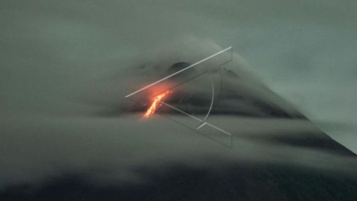


YOGYAKARTA - Mount Merapi on the border of the Special Region of Yogyakarta and Central Java launched two hot avalanches with a maximum glide distance of 2.5 kilometers to the southwest on Monday, March 28.
Head of the Center for Research and Development of Geological Disaster Technology (BPPTKG), Hanik Humaida, explained that the hot cloud avalanches occurred at 14.46 WIB and 15.09 WIB.
"It was observed that hot clouds fell twice with a maximum glide distance of 2,500 meters leading to the southwest", she said as quoted by Antara.
Based on the observation period of BPPTKG from 12.00 to 18.00 WIB, Merapi was also recorded to emit incandescent lava three times to the southwest as far as 1.5 km.
SEE ALSO:


In addition, hot cloud earthquake avalanches were also recorded twice at Mount Merapi with an amplitude of 32-34 mm. for 175-192 seconds and 33 avalanches with an amplitude of 3-14 meters with a duration of 11-202 seconds.
Until now BPPTKG still maintains the status of Mount Merapi at Level III or Alert.
Lava flows and hot clouds from Mount Merapi can impact areas within the south-southwest sector which include the Boyong River (a maximum of five km) and the Bedog, Krasak, Bebeng Rivers (a maximum of seven km).
In addition, lava flows and hot clouds from Mount Merapi can impact areas in the southeastern sector which include the Woro River (a maximum of three km) and the Gendol River (a distance of five km).
If the volcano experiences an explosive eruption, then the ejection of volcanic material can reach an area within a radius of three kilometers from the top of the mountain.
The English, Chinese, Japanese, Arabic, and French versions are automatically generated by the AI. So there may still be inaccuracies in translating, please always see Indonesian as our main language. (system supported by DigitalSiber.id)
Most Popular Tags
#Prabowo Subianto #donald trump #2026 World Cup #Febrie Adriansyah #8791Popular


