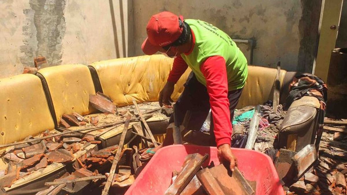
JEMBER - The number of houses that were severely to lightly damaged by an earthquake with a magnitude of 5.0 in Jember Regency, East Java, increased to 38 houses from the previous 29 houses.
"The temporary total of houses damaged by the earthquake reached 38 houses, consisting of 28 lightly damaged houses, nine moderately damaged houses, and one heavily damaged house," said Secretary of the Jember Regional Disaster Management Agency (BPBD), Heru Widagdo, quoted by Antara, Thursday, December 16.
According to him, the damaged houses were spread over six sub-districts, namely Ambulu, Tempurejo, Silo, Puger, Wuluhan, and Sukorambi sub-districts. However, data collection on damaged houses continues to be carried out by officers in the field.
"The areas affected by the earthquake were four villages in Ambulu District, three villages in Tempurejo District, one village in Silo District, two villages in Puger District, three villages in Wuluhan District, and one village in Sukorambi District," he said.
In addition to houses, the earthquake also caused a number of public facilities to suffer minor damage, namely in Islamic boarding schools and the Wonoasri Village hall.
"The number of victims who suffered injuries also increased from four people, now to six people with details of four people with minor injuries and two people with moderate injuries who have received treatment from the medical team," he said.
SEE ALSO:
Heru said that the location data affected by the earthquake could still be developed based on community reports and data collection carried out in the field by Jember BPBD volunteers.
"I urge the public to remain calm and not be influenced by issues that cannot be accounted for," he said.
He also appealed to residents to avoid buildings that were cracked or damaged by the earthquake, then residents to check and make sure the building where you live is earthquake-resistant, or there is no damage due to earthquake vibrations that endanger the stability of the building before you return home.
A tectonic earthquake with a magnitude of 5.0 occurred in the southern region of East Java, centered at the coordinates of 8.55 degrees south latitude - 113.48 degrees east longitude or precisely located in the sea at a distance of 43 km southwest of Jember City at a depth of 26 km. thought to be triggered by active fault activity on the seabed.
The English, Chinese, Japanese, Arabic, and French versions are automatically generated by the AI. So there may still be inaccuracies in translating, please always see Indonesian as our main language. (system supported by DigitalSiber.id)
