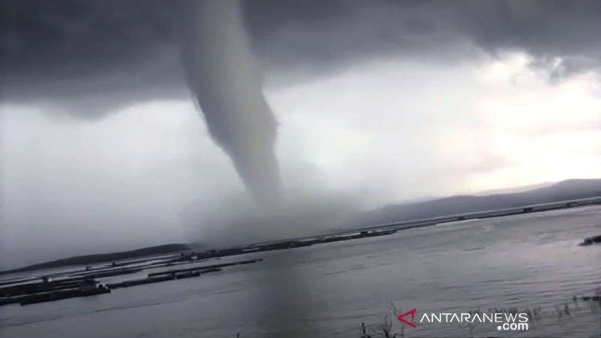
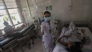
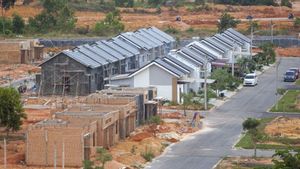
JAKARTA - The DKI Jakarta Regional Disaster Management Agency (BPBD) recorded the impact of the tornado that hit Kelapa Island, Seribu Islands on March 28. The disaster caused 61 houses to be damaged, 2 boats sunk, 4 people slightly injured, and 4 fishermen still missing and in the process of being searched.
Another incident, as many as 131 residents' houses were damaged due to being hit by a tornado in the urban area of Garut, Sunday, April 3. The figure was obtained from data from the Regional Disaster Management Agency (BPBD) of Garut Regency.
Along with the extreme weather that is currently hitting the territory of Indonesia, tornadoes are one of the disasters that often strike. A hurricane cannot be taken lightly because it is one of the natural disasters that is difficult to predict when it will occur. Its arrival can cause infrastructure destruction and human casualties.
Due to its destructive nature, hurricanes will obviously cause material losses that disrupt economic activities. A hurricane can destroy an area of up to 5 km2.

Can be on land and sea
Tornados occur because of pressure differences in a weather system. This wind comes from Cumulonimbus (Cb) clouds, which are dark gray and towering clumpy clouds. It can happen anytime and anywhere, both on land and at sea.
If it occurs at sea, the duration is longer than on land. Usually occurs in the afternoon or evening. Sometimes at night and usually more often during the transition season (transitional)
A cyclone is a rotating wind with a speed of more than 63-90 km per hour, moving in a straight line with a maximum duration of 5 minutes.

This cyclone also does not have a cycle, because it is very rare for aftershocks to occur in the same location.
Almost all areas in Indonesia are prone to this one wind disaster, but there are some areas that are recorded to be hit by this tornado more often than other places. These areas are Nusa Tenggara, Sulawesi and Sumatra.
Here are some signs and the process of a hurricane, so we can anticipate it:
- The air is hot and stifling, in the sky you can see the growth of cumulus (white clouds clustered in layers then suddenly changing color from white to jet black (Cumulonimbus clouds).
- The tree branches and leaves swayed rapidly because of the wind and felt very cold, If this phenomenon occurs, it is most likely rain accompanied by strong winds.
The National Board for Disaster Management (BNPB) also reminded, entering the month of April people to anticipate extreme weather including strong winds without rain and tornadoes. Tornadoes are the biggest contributor to disasters after floods. The public is expected to monitor the weather forecast more often.
SEE ALSO:
A hurricane is a disaster that can appear at any time, and is difficult to predict. It is important for people, especially those living in disaster-risk areas, to recognize its characteristics.
The English, Chinese, Japanese, Arabic, and French versions are automatically generated by the AI. So there may still be inaccuracies in translating, please always see Indonesian as our main language. (system supported by DigitalSiber.id)
