

DENPASAR - Head of the Indonesian Meteorology, Climatology and Geophysics Agency (BMKG) Dwikorita Karnawati asked the Bali Provincial Government to prepare a disaster mitigation strategy ahead of the peak of the rainy season in early 2026.
The Head of BMKG estimates that the rainy season will peak in January 2026, so that rainfall has the potential to be high and can trigger hydrometeorological disasters such as floods, flash floods, and landslides.
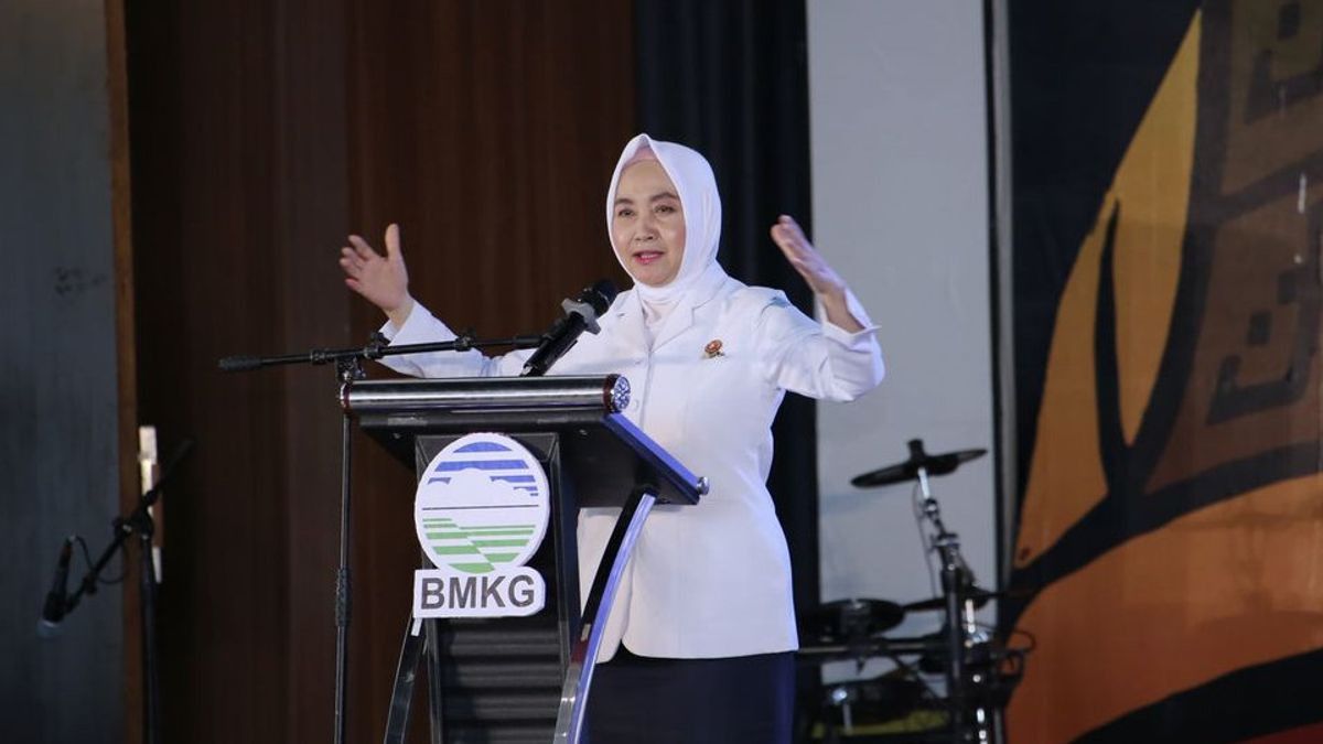
"Therefore, local governments, technical agencies, and the public are asked to increase preparedness and vigilance," said Dwikorita to the Governor of Bali after the rain and floods last month.
"It is important to map areas prone to flash floods, early inspection of rivers in hilly areas, and rearrange river bodies that experience silting or narrowing," continued Dwikorita.
The BMKG advised the Bali Provincial Government to stop excavation activities on hilly slopes in areas that have the potential for high landslides to prevent greater disaster risk during the rainy season.
"Immediate evacuation to a higher place if there are signs of flash floods, such as river water rising rapidly, rumbling sounds, or the pungent smell of mud," he said.
Responding to the directive, Bali Governor Wayan Koster immediately ordered the Head of Bali BPBD to map flood and landslide-prone areas and follow up on the results with quick and measurable field actions.
To anticipate and evaluate the last large post-flood, Koster regulates his focus on watersheds (DAS) from upstream to downstream.
These steps include river normalization, replanting barred areas, auditing four major watersheds, namely Ayung, Badung, Mati, and Unda, as well as controlling buildings that violate spatial planning along the riverbanks, said Wayan Koster.
The Bali Provincial Government has taken this strategy in line with the disaster resilience development policy in Bali Governor Regulation Number 25 of 2024 concerning the Bali Province 2025 2029 Disaster Risk Study.
Its contents include development policies that risk disasters, prevention, emergency response, to post-disaster rehabilitation and reconstruction.
"With the risk map and vulnerability map, the government can be faster and more precise in making mitigation decisions and strengthening regional capacity to reduce losses due to disasters," he said.
For the mitigation of the rainy season, Bali emphasizes the balance and harmony of nature and its contents, one of the implementations is the implementation of the Danu Kerthi concept, namely purification and breeding of water sources that include lakes, springs, and rivers as the soul of life in Bali.
"As directed by BMKG, Bali has local culture and wisdom to preserve nature, one of which is through the celebration of Tumpek Wariga Day, on that day the community worked together to clean the river and plant and reforestation in the river basin," he said.
This commitment to conserve water resources is strengthened through the Governor of Bali Regulation Number 24 of 2020 concerning the Protection of Lakes, Waters, Rivers and Seas.
It regulates steps to preserve water catchment areas, control pollution, and involve indigenous peoples through local wisdom in the management of water resources.
SEE ALSO:
-
 | BERITA
Istana Ungkap Alasan Prabowo Tambah Wakil Menteri di Kemendagri dan Kemenkes
09 Oktober 2025, 06:06 -
 | OLAHRAGA
Hasil Indonesia vs Arab Saudi: Kartu Merah dan Tiga Penalti, Garuda Takluk 2-3
09 Oktober 2025, 02:24 -
 | EKONOMI
Bos Danantara soal Utang Kereta Cepat: Negosiasi dengan China Sedang Berjalan
08 Oktober 2025, 23:36
"With this governor's basis, the Bali Provincial Government is committed to strengthening the synergy between environmental policies and disaster mitigation, so that water resource management not only preserves nature, but also protects the community from the risk of hydrometeorological disasters," he said.
Governor Koster assured the Head of BMKG that the close cooperation between the central, regional and community governments, Bali can become a strong province against disaster risks and be able to maintain harmony between humans and nature.
The English, Chinese, Japanese, Arabic, and French versions are automatically generated by the AI. So there may still be inaccuracies in translating, please always see Indonesian as our main language. (system supported by DigitalSiber.id)


