

JAKARTA - Earthquakes often occur in Indonesian territory located on the Pacific Ring of Fire, including around North Sulawesi. One area experiencing seismic activity is Mount Ruang on Ruang Island, Sitaro Islands Regency.
The Geological Agency, Ministry of Energy and Mineral Resources (ESDM) noted an increase in volcanic activity on the mountain during the period 16-28 February 2025.
In an official report received in Manado on Sunday, the Head of the Geological Agency, Muhammad Wafid AN, revealed that during that period, there were 16 volcanic earthquakes in 10 gusts.
"There were also recorded 10 gust earthquakes, three local tectonic earthquakes and 164 distant tectonic earthquakes, the earthquake was felt three times on the MMI II scale and recorded one earthquake with a five-millimeter amplitude and 1072-second earthquake," Head of the Geological Agency Muhammad Wafid AN was quoted as saying by ANTARA.
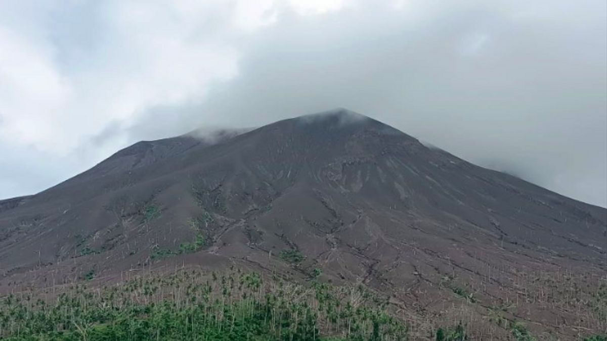
Although the number of seismic activity has decreased compared to the period April and May 2024, the activity of Mount Ruang is still not fully back to normal. Visually, the main crater still emits white smoke with intensity varying from thin to thick, and a height of about 50-100 meters from the top of the mountain.
Based on monitoring, there was no significant change in the number of seismicities between the period 16-28 February 2025 and the previous period, 1-15 February 2025. In addition, the height of smoke was recorded to have decreased, while the number of gusts was also less compared to June 2024.
SEE ALSO:


On February 20, 2025, seismic activity recorded three gusts and three deep volcanic earthquakes. The crater smoke observed was white with weak pressure, thin to moderate intensity, and a height of about 50-100 meters from the summit.
Internal volcanic earthquakes detected indicate a supply or migration of magma from deep depth to the surface. Meanwhile, on February 26, 2025, there were 49 distant tectonic earthquakes and two earthquakes were felt on the MMI II scale.
This incident was related to a tectonic earthquake that rocked Minahasa Peninsula (Bolaang Mongondow) at 05.55.45 WIB with a magnitude of 6 and a depth of 10 kilometers, followed by several aftershocks.
According to Muhammad Wafid, the potential danger that is currently being watched out for is the possibility of an eruption that can produce incandescent material and volcanic ash, depending on the direction and speed of the wind. In addition, lahars can be formed in the event of heavy rain around Mount Ruang.
As a mitigation measure, the level of activity of Mount Ruang has been lowered from Level III (Alert) to Level II (Alert) since May 18, 2024 at 09.00 WITA. People around this area are still advised to be aware of the possibility of further volcanic activity and follow directions from the authorities.
The English, Chinese, Japanese, Arabic, and French versions are automatically generated by the AI. So there may still be inaccuracies in translating, please always see Indonesian as our main language. (system supported by DigitalSiber.id)
Most Popular Tags
#Prabowo Subianto #donald trump #2026 World Cup #Febrie Adriansyah #8791Popular


