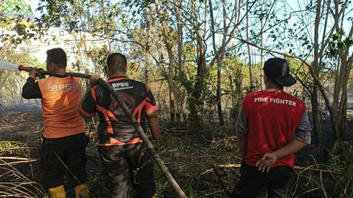


JAKARTA - The Balikpapan Station Meteorology, Climatology and Geophysics Agency (BMKG) detected 317 hotspots spread across seven districts in East Kalimantan Province (Kaltim).
"The 317 hotspots were monitored throughout Saturday (7/10) from 01.00 to 24.00 WITA," said the Coordinator for Data and Information at the Class I Meteorological Station Sultan Aji Muhammad Sulaiman - Sepinggan BMKG Balikpapan Station, Diyan Novrida, in Balikpapan, Sunday, quoting Antara.
The number of hotspots as much as this decreased compared to the previous day which recorded 381 hotspots.
Hotspots are indicators of forest or land fires (karhutla) detected from a location where temperatures are relatively high compared to the surrounding temperatures.
اقرأ أيضا:
-
 | BERITA
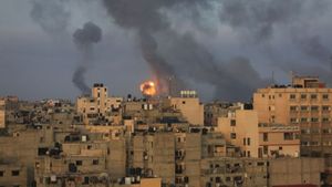
Pemerintah Indonesia Prihatin, Minta Konflik Palestina dan Israel Segara Dihentikan
08 Oktober 2023, 08:15 -
 | EKONOMI
Industri Nikel Sudah Matang, Jokowi Tak Khawatir jika Indonesia Kalah Lagi di WTO
08 Oktober 2023, 07:30 -
 | BERITA
Tak Percaya Elektabilitas Selalu Turun, Anies Maafkan Lembaga Survei yang Cari Nafkah
08 Oktober 2023, 07:15

For this reason, all levels of society are advised to take care of each other and be vigilant, such as not throwing cigarette butts carelessly, then not burning when managing land, so that forest and land fires do not occur.
The distribution of hotspots, he said, had been informed to related parties, including the Regional Disaster Management Agency (BPBD) both at the provincial and district levels in order to receive further treatment.
The seven districts detected 317 hotspots are Paser Regency (101), North Penajam Paser (10), West Kutai (40), East Kutai (52), Kutai Kartanegara (55), and Berau (43), and Mahakam Ulu detected (15).
"The distribution per district, among others in North Penajam Paser, is observed at 10 points, spread over two sub-districts, namely Babulu District, there are nine points, while the rest are in Waru District," said Diyan.
The English, Chinese, Japanese, Arabic, and French versions are automatically generated by the AI. So there may still be inaccuracies in translating, please always see Indonesian as our main language. (system supported by DigitalSiber.id)
العلامات الأكثر شيوعًا
#Prabowo Subianto #السنة الجديدة #pdip #هاستو كريستيانتو #ناتارو #عيد الميلادجمع