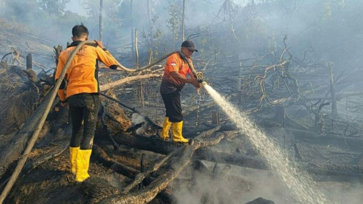


BALIKPAPAN - The Balikpapan Station Meteorology, Climatology and Geophysics Agency (BMKG) detected a decrease in the number of hotspots in East Kalimantan Province (Kaltim), from 102 points on Monday (11/9) yesterday, down to 4 points today.
"A total of 4 hotspots were observed today from 01.00 to 16.00 WITA," said Sultan Aji Muhammad Sulaiman - Sepinggan Balikpapan Meteorological Station Data and Information Coordinator Diyan Novrida, quoted by ANTARA, Tuesday, September 12.
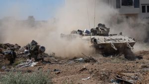
Hotspots are indicators of forest or land fires (karhutla) detected from a location, with relatively high temperatures compared to the surrounding temperatures.
The public is asked to take care of each other and be vigilant, including reminding each other not to throw cigarette butts carelessly, then not to burn them when managing land so that forest and land fires do not occur.
This hot spot distribution has been informed to related parties, including the regional disaster management agency (BPBD) both at the provincial and related district levels to get further treatment.
"A total of 4 hotspots are spread over two sub-districts in Berau Regency, namely Gunung Tabur One District and Derawan Island District with three points, all of which have a middle level of trust," he said.
VOIR éGALEMENT:
-
 | BERITA
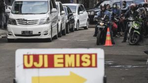
Alasan Penghapusan Tilang Tak Lulus Uji Emisi: Biar Tak Bebankan Masyarakat
12 September 2023, 17:11 -
 | BERITA
PKS Tak Khawatir Koalisi Pendukung Anies-Cak Imin Disebut Motor Politik Identitas
12 September 2023, 16:21 -
 | BERITA
Panglima: Atribut TNI Tak Boleh untuk Kampanye termasuk Purnawirawan
12 September 2023, 16:15

The reduction in hot spots is due to various factors, including because in a number of areas in East Kalimantan in the last few days it has experienced rain, including public awareness that do not burn carelessly.
The day before, Monday, September 11, which detected 102 hotspots, spread over six districts in East Kalimantan, namely in Paser 4 points, Penajam Paser Utara 1, West Kutai 23, East Kutai 36, Kutai Kartanegara 13, and Berau Regency, 25 points were detected.
The English, Chinese, Japanese, Arabic, and French versions are automatically generated by the AI. So there may still be inaccuracies in translating, please always see Indonesian as our main language. (system supported by DigitalSiber.id)
العلامات الأكثر شيوعًا
#Prabowo Subianto #السنة الجديدة #سوريا #ناتارو #عيد الميلادجمع