

JAKARTA - The Ministry of Energy and Mineral Resources (ESDM) through the Geological Agency conveyed the latest news regarding the land surface of Jakarta, which was previously rumored to continue to decline from year to year.
Acting (Plt) Head of the Geological Agency Muhammad Wafid revealed, thanks to groundwater control, there is a groundwater recovery in the Jakarta Homeland Basin which continues to improve.
"In recent years, it has rebounded, experienced an increase in groundwater level of up to 5 meters and thank God it is part of management," said Wafid, quoted on Tuesday, November 14.
Wafid explained that this recovery was accelerated by controlling the use of ground water by the government by maximizing the use of surface water through the Regional Drinking Water Company (PDAM) and cooperation between the Ministry of Energy and Mineral Resources and the local Government.
However, Wafid also emphasized that taking groundwater is not the only factor that drives the surface of the ground, but is also driven by other factors such as natural and tectonic compactification.
Another thing that also encourages land subsidence is infrastructure development such as tall buildings around the Groundwater Basin area.
Although not the main factor, he said, with groundwater supply, it is hoped that it can reduce the acceleration of land subsidence in the North Coast of Java Island.
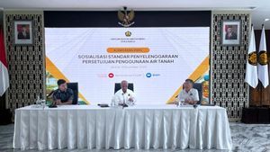
Controlling the use of ground water is one of the underlying Decrees of the Minister of Energy and Mineral Resources Number 291.K/GL.01/MEM.G/2023.
اقرأ أيضا:
-
 | EKONOMI
Badan Geologi ESDM Ungkap 8 Daerah Ini Punya Cekungan Air Tanah Rusak
13 November 2023, 19:25


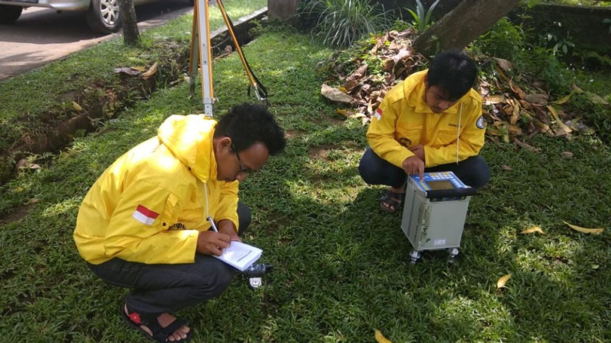
Previously, it was reported that at the Jakarta Homeland Basin, efforts had been made to monitor groundwater and land subsidence since 2014 through the establishment of the Groundwater Conservation Agency (BKAT), which is an UPT under the Center for Groundwater and Environmental Management Geology, Geological Agency, Ministry of Energy and Mineral Resources.
Groundwater monitoring is carried out at 220 locations each year, both at monitoring wells, production wells, and excavation wells, in the form of groundwater level measurement activities and analysis of groundwater physics properties.
One of the objectives of groundwater monitoring activities is to evaluate groundwater extraction control as part of granting permission for groundwater exploitation which is poured in the form of a Groundwater Conservation Zone Map.
Wafid said the measurement during the 2015-2022 period in the Jakarta Soil Basin area showed a land decline rate of between 0.04 and 6.30 cm per year.
This shows a decline in land compared to 1997 to 2005 where the rate of land subsidence is between 1-10 cm per year to 15-20 cm per year.
The English, Chinese, Japanese, Arabic, and French versions are automatically generated by the AI. So there may still be inaccuracies in translating, please always see Indonesian as our main language. (system supported by DigitalSiber.id)
العلامات الأكثر شيوعًا
#Prabowo Subianto #السنة الجديدة #يوم الأم #ناتارو #عيد الميلادجمع