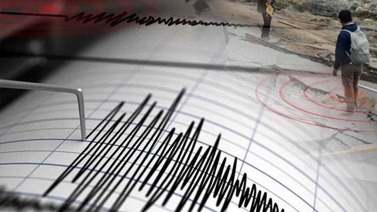


MANOKWARI - The Meteorology, Climatology and Geophysics Agency (BMKG) stated that the 6.1 magnitude earthquake that occurred at a depth of 11 kilometers Ransaki, South Manokwari Regency, West Papua, did not have the potential to cause a tsunami.
"The earthquake occurred on Tuesday at around 09.02.53 WIT. The epicenter was 42 kilometers southeast of Ransiki. There is no potential for a tsunami," said Head of the BMKG Earthquake and Tsunami Center Daryono in a written statement to ANTARA in Manokwari, Tuesday, April 9.
He explained that the earthquake that occurred was a type of shallow earthquake due to the activity of the Sorong-Yapen Fault (sea segment) with a sliding mechanism (stripe-slip).
The tremors were felt in Ransiki with an intensity scale of III-IV MMI (If during the day it was felt by many people in the house), the Manokwari area with an intensity scale of III MMI (The movement felt real in the house).
Then the Biak, Serui, Wondama areas with an intensity scale of II-III MMI, as well as the Nabire region with an intensity scale of II MMI (Fights were felt by several people, light objects that were hung swayed).
"The epicenter was located at coordinates 1.73 deg LS; 134.50 deg BT or precisely located in the sea at a distance of 46 kilometers southeast of Ransiki," said Daryono.
관련 항목:
-
 | BERITA
Cuaca 9 April, Malam Takbir Berpotensi Hujan di Sejumlah Kota di Tanah Air
09 April 2024, 06:15 -
 | BERITA
Salju Mencair Lebih Cepat, 10.400 Rumah Terendam Banjir di Seluruh Rusia
09 April 2024, 01:00

As of 09.20 WIT, the results of BMKG monitoring have not shown any aftershock activity, but the public is advised to remain calm.
BMKG requested that people avoid buildings that are cracked or damaged by the earthquake, and are not affected by information that cannot be justified.
The English, Chinese, Japanese, Arabic, and French versions are automatically generated by the AI. So there may still be inaccuracies in translating, please always see Indonesian as our main language. (system supported by DigitalSiber.id)