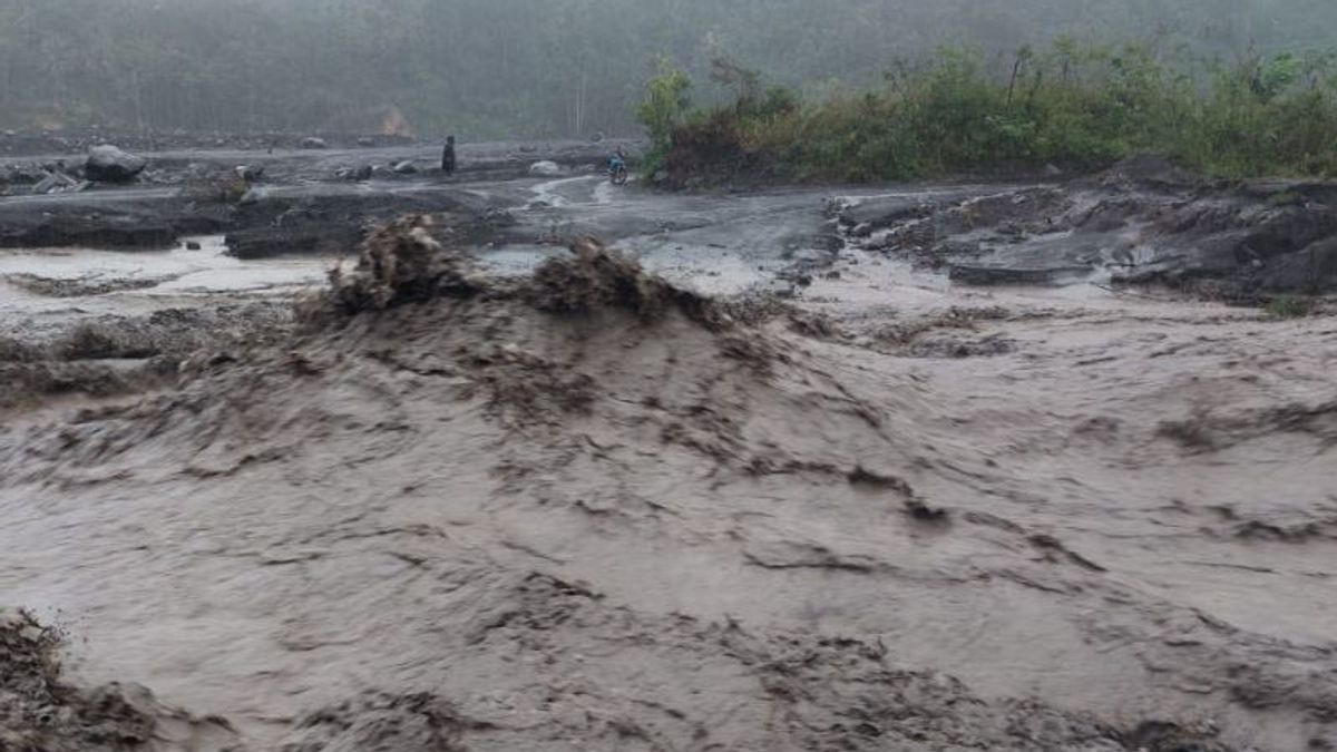


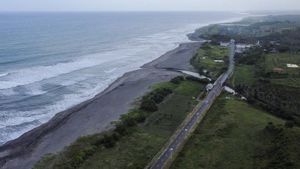
JAKARTA - The high rainfall in the peak area of Mount Semeru has caused lava flooding in Lumajang. Observations of the seismicity noted that the flood vibrations on Mount Semeru, Lumajang Regency, East Java were recorded as many as four times as 5 to 6 hours on Friday, July 7.
The officer of the Semeru Volcano Observation Post, Liswanto, in his written report noted that during the observation period Friday (7/7) at 00.00-24.00 WIB, there were four flood tremors.
"The flood vibration earthquake has an amplitude of 28-40 mm and an earthquake length of 20,700-21,600 or about 5-6 hours," he said in a written report at the Mount Semeru Monitoring Post on Mount Sawur, Lumajang Regency, Saturday, July 8.
In addition, for 24 hours, the seismograph also recorded 57 eruption/eruption earthquakes with an amplitude of 12-22 mm, and an earthquake of 45-155 seconds, then 9 avalanches with an amplitude of 4-13 mm and a long earthquake of 37-62 seconds.
"It was also recorded that once there was a deep volcanic earthquake with an amplitude of 17 mm, while visual observations of crater smoke were not observed. The weather was cloudy to rainy, weak to strong winds to the north, northeast, south, west, and northwest," he said as quoted by ANTARA.
As a result of the long flood vibrations, the water discharge in a number of Semeru Watersheds (DAS) was very heavy, which resulted in damage to a number of bridges.
VOIR éGALEMENT:
-
 | TEKNOLOGI
4 Kekurangan Aplikasi Threads yang Patut Anda Ketahui Sebelum Mendaftar
08 Juli 2023, 05:05

The Center for Volcanology and Geological Hazard Mitigation (PVMBG) has set Mount Semeru to be on alert or level 3, so that people are not allowed to carry out any activities in the southeast sector along Besuk Kobokan, as far as 13 km from the summit (the center of the eruption).
Beyond this distance, the community does not carry out activities at a distance of 500 meters from the riverbank (river border) along Besuk Kobokan, because it has the potential to be affected by the expansion of hot clouds and lava flows up to a distance of 17 km from the summit.
Then people are prohibited from doing activities within a radius of 5 kilometers from the crater/peak of Mount Semeru, because they are prone to the danger of throwing stones (pijar).
Furthermore, be aware of the potential for hot clouds of avalanches (APG), lava avalanches, and lahars along rivers/valleys that originate at the peak of Mount Semeru, especially along Besuk Kobokan, Besuk Bang, Besuk Kembar, and Besuk Sat as well as the potential for lava in small rivers that are tributaries of Besuk Kobokan.
The English, Chinese, Japanese, Arabic, and French versions are automatically generated by the AI. So there may still be inaccuracies in translating, please always see Indonesian as our main language. (system supported by DigitalSiber.id)
Tags les plus populaires
#Prabowo Subianto #Golkar #élections jakarta #jeux d’argent en ligne #Mount Lewotobi malePopulaire