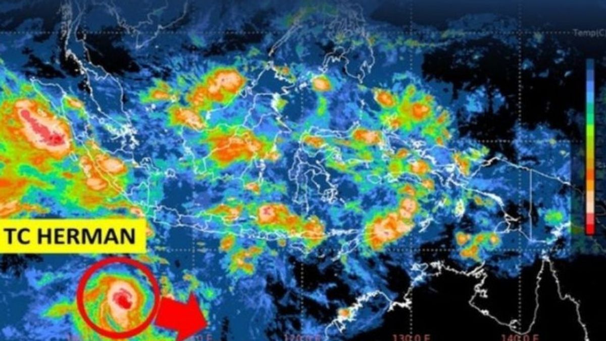
JAKARTA - The Meteorology, Climatology and Geophysics Agency (BMKG) detected the emergence of tropical cyclone Herman in the Indian Ocean south of Banten potentially affecting the weather in several regions in Indonesia.
BMKG Deputy Meteorology Guswanto said that tropical cyclone Herman was observed in the Indian Ocean south of Banten, precisely around 14.4 south latitude and 103.0 east longitude with a maximum wind speed of 55 knots and a minimum air pressure of 987 millibar (mb).
"It is estimated that the intensity of tropical cyclone Herman will decrease in the next 24 hours and move east-southeast away from Indonesia," he said in Jakarta, Antara, Thursday, March 30.
The indirect impact on the weather in Indonesia in the next 24 hours, namely moderate to heavy rain accompanied by strong winds in the areas of Bengkulu, Lampung, Banten, and West Java.
Strong winds reaching 25 knots have the potential to occur in the western coastal areas of Bengkulu, the west and south coast of Lampung, the west coast and south of Banten, and the southern coast of West Java.
Guswanto also said that the tropical cyclone also has the potential to trigger a high wave of 1.25-2.5 meters in Lampung Bay, Bengkulu waters, and southern waters of East Java.
Meanwhile, higher waves in the range of 2.5-4 meters have the potential to occur in the western waters of the Mentawai Islands, the western waters of Enggano Island, the western waters of Lampung, the western Indian Ocean of the Mentawai Islands to Lampung, the southern part of Lampung, the southern waters of Banten to Central Java, and the southern Indian Ocean of Banten to East Java.
VOIR éGALEMENT:
The English, Chinese, Japanese, Arabic, and French versions are automatically generated by the AI. So there may still be inaccuracies in translating, please always see Indonesian as our main language. (system supported by DigitalSiber.id)
Tags les plus populaires
#Prabowo Subianto #Nouvel An #pdip #Hasto Kristiyanto #nataru #NatalPopulaire
27 Desember 2024, 18:00


