

SUMBAR - Padang-Kerinci Street can be passed by vehicles after being hampered by landslides. The landslide material on the Letter W area road, Nagari Lubuk Gadang Tenggara, South Solok, West Sumatra Province (West Sumatra) has been evacuated by the Regional Disaster Management Agency (BPBD).
"We received a report, initially (about) a fallen tree, at around 22.00 WIB. Arriving at the location, it turned out that it was a landslide, so it had to come back to pick up heavy equipment," said South Solok BPBD Emergency Section Head Romi Aprijal in Padang Aro, West Sumatra, Tuesday, February 28, confiscated by Antara.
Romi added that his party deployed heavy equipment to clean up the landslides covering the part of the road.
"Heavy equipment reached the landslide site at around 03.00 WIB, an hour later the vehicle could return to running," he said.
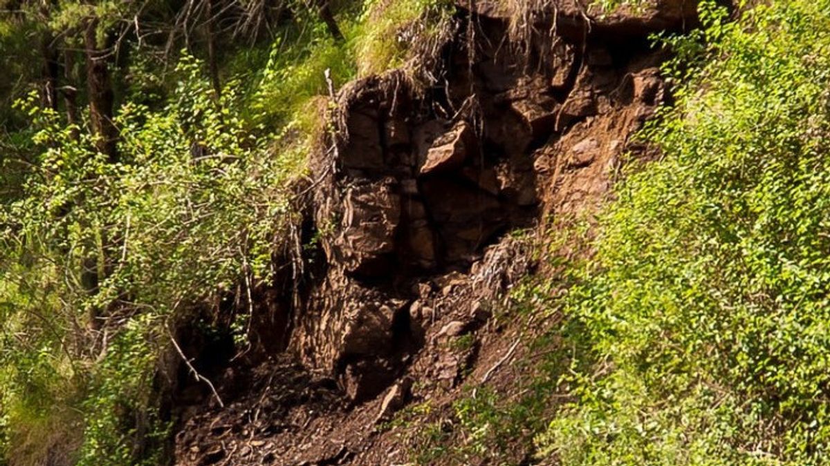
He said that landslides covering about 10 meters from the road had hampered vehicle traffic on the Padang-Kerinci road.
BPBD officers finished cleaning up the landslide covering the road after working for about an hour. The road can be passed by the vehicle again at 04.15 WIB.
Heavy rains caused landslides in the Pondok Pisang Jorong Letter W area, Nagari Lubuk Gadang Tenggara, Sangir District, Monday, February 27.
BPBD reminded residents in landslide-prone areas to increase their vigilance during the rain.
Areas that are classified as prone to landslides include Bukit Manggis which is located between Sangir and Lubuk Malako, Pantai Cermin in Sangir Batanghari District, Letter W area in Sangir District, and Balu-Ulu Difficulty in Koto Parik Gadang Diateh District.
This year, the South Solok Regency Government has prepared a Disaster Management Plan so that disaster management efforts can be carried out in a planned, directed, and integrated manner.
The Disaster Management Plan includes preventive and mitigation measures, preparedness, emergency response, a transition from an emergency to recovery, to a post-disaster rehabilitation and reconstruction process.
South Solok has many hills and watersheds so it is prone to natural disasters such as floods and landslides. The area is also crossed by the fault segment, making it prone to earthquakes.
The English, Chinese, Japanese, Arabic, and French versions are automatically generated by the AI. So there may still be inaccuracies in translating, please always see Indonesian as our main language. (system supported by DigitalSiber.id)