

JAKARTA - The Regional Disaster Management Agency (BPBD) of Bangka Regency, Bangka Belitung Islands has mapped flood-prone areas to facilitate control and handling accents.
Head of BPBD Bangka Regency Ridwan said mapping flood-prone areas refers to the early warning of extreme weather in Bangka Regency issued by the Meteorology, Climatology and Geophysics Agency (BMKG) Pangkalpinang.
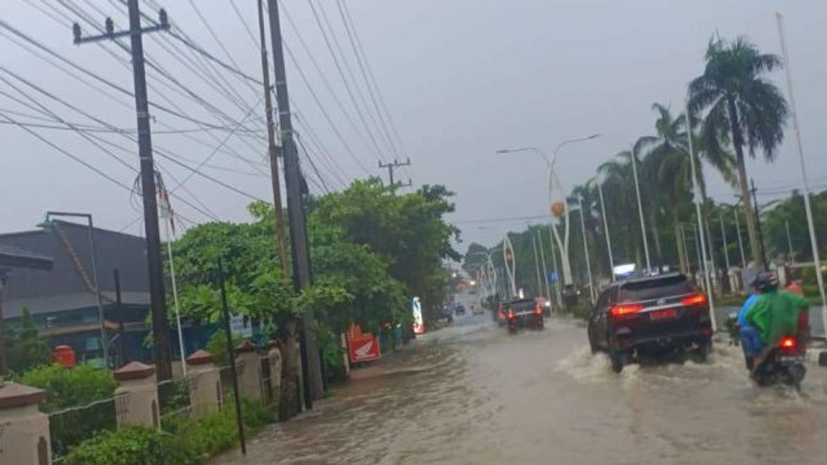
He reminded that there had been rain evenly in heavy intensity in eight sub-districts in Bangka Regency, the alert category in Sungailiat District since Monday (30/1) until today Tuesday (31/1) until 03.30 WIB.
"Since yesterday until now, we have maximized supervision in the field and alerted personnel of the Rapid Response Unit (URC) because the rain fell quite heavily which caused a number of roads and residential areas to be flooded even though the water had receded relatively briefly," explained Ridwan, Tuesday, January 31, quoted by Antara.
Based on data from the Disaster Management Operations Control Center (Pusdalops PB) of BPBD Bangka Regency in the field Monday (31/1), there was an overflow of rainwater that inundated a number of residential areas and roads such as Air Ruay Pemali Village, Pohin, Bukit Betung or Bangka Regent's Office, Air Hanyut neighborhood and in the Jawa Sungailiat Village.
"In addition to collecting data on waterlogging points and affected residential areas, the URC team in the field also helped regulate vehicle user traffic on roads that were flooded, cleaning waterways so that they flowed smoothly and coordinated with the local village government," he said.
The English, Chinese, Japanese, Arabic, and French versions are automatically generated by the AI. So there may still be inaccuracies in translating, please always see Indonesian as our main language. (system supported by DigitalSiber.id)
Tags les plus populaires
#NCP #Seuil présidentiel #Hasto Kristiyanto #squid game 2Populaire