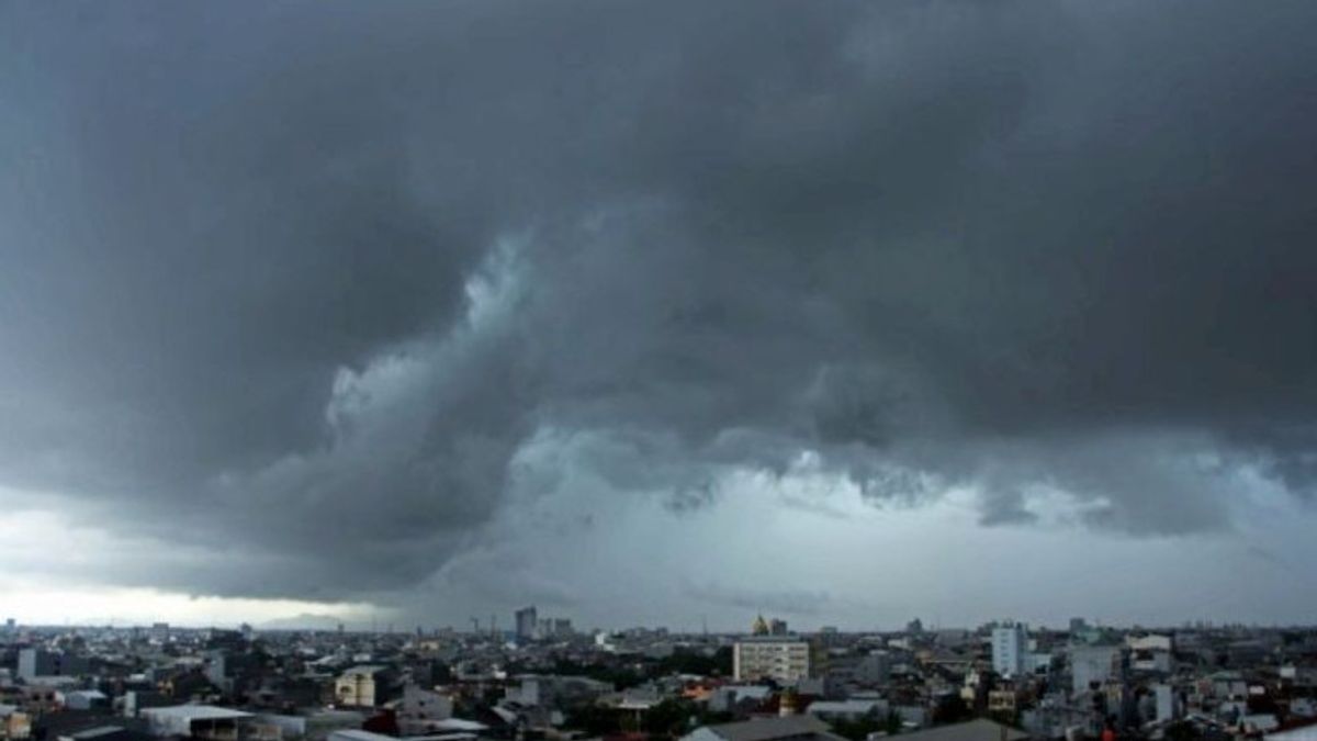
MAKASSAR - The Meteorology, Climatology and Geophysics Agency (BMKG) Region IV Makassar issued an early warning for the potential for extreme weather on 3-9 January 2023 in South Sulawesi and asked the public to increase their awareness and preparedness for potential disasters.
"Forecasts for January 3-9 2023, rain with a heavy intensity which tends to occur in the early morning until early morning has the potential to occur in the South Sulawesi region", said BBMKG Region IV Makassar Head, Irwan Slamet, reported by ANTARA, Tuesday, January 3.
He explained that the weather conditions for the last few days were mostly cloudy. Nevertheless, the latest atmospheric dynamics show indications of the potential for increased rainfall in the South Sulawesi region.
In addition, the former Tropical Cyclone Ellie was observed to be still in Western Australia capable of increasing wind speed and sea wave height along the area towards the center of pressure.
There is a confluence of wind currents (convergence) around South Sulawesi causing a buildup of air masses that support the growth of rain clouds. Weather models show upper air humidity up to 700 Mb in 70-100 percent wet conditions.
"In response to these conditions, it is hoped that stakeholders and the whole community can increase preparedness for the potential for hydrometeorological disasters", said Irwan.
The forecast for rain with heavy intensity in the western part of South Sulawesi includes the Regencies of Barru, Pangkajene, and Islands, Maros, Makassar, Takalar, City of Parepare, and Makassar. The central part of South Sulawesi, includes the districts of Soppeng, Gowa, and the eastern part of Bone.
The southern part of South Sulawesi includes Jeneponto Regency, Bantaeng. As well as the potential for strong winds in the western and southern parts of South Sulawesi.
Meanwhile, early warnings were issued in Parepare, Soppeng, eastern Bone, Barru, Pangkajene and Islands, Maros, Makassar, Gowa, Takalar, Jeneponto, and Bantaeng.
"The public is advised to be wary of high waves in the waters around South Sulawesi", he warned.
VOIR éGALEMENT:
Waves in the Medium category with waves of 1.25 - 2.5 meters occurred in Parepare Waters, western Spermonde Pangkep Waters, Spermonde Pangkep Waters, western Spermonde Makassar Waters, Spermonde Makassar Waters, northern Bone Bay, southern Bone Bay.
Waves with a height category between 2.5 and 4.0 meters occur in the southern part of the Makassar Strait, western waters of the Selayar Islands, Sabalan Waters, eastern waters of the Selayar Islands, northern Flores Sea, western Flores Sea, northern Bonerate-Kalaoton Island waters, Bonerate Island Waters - southern part of Kalaotoa, and East Flores Sea.
These impacts include flood inundation, landslides, strong winds, fallen trees, and delays to flight or shipping schedules.
The community is expected to always follow information from the BMKG and related agencies to ensure that hydrometeorological disaster mitigation can be carried out properly. BMKG Sulsel provides 24-hour weather information services, by contacting through various available channels.
The English, Chinese, Japanese, Arabic, and French versions are automatically generated by the AI. So there may still be inaccuracies in translating, please always see Indonesian as our main language. (system supported by DigitalSiber.id)


