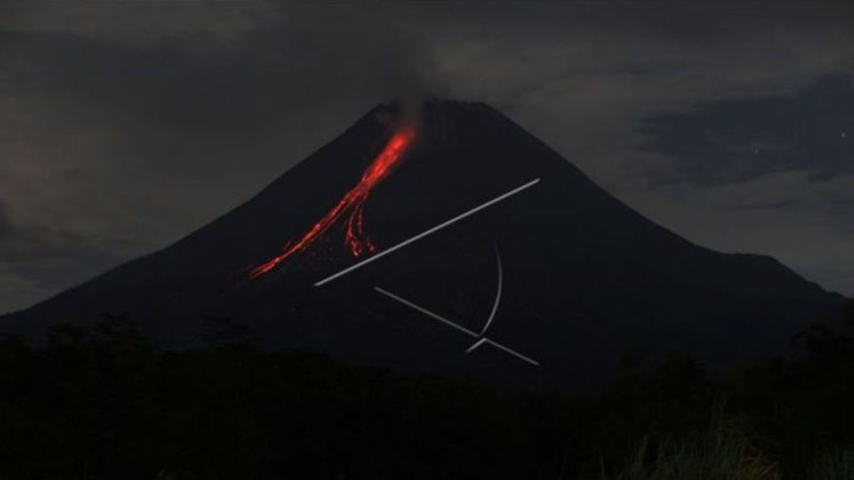


YOGYAKARTA - The Center for Research and Development of Geological Disaster Technology (BPPTKG) stated that Mount Merapi on the border of the Special Region of Yogyakarta and Central Java emitted 10 times incandescent lava.
The incandescent lava slides with a maximum distance of 1,800 meters (1.8 km) to the southwest, starting at 00.00 to 06.00 WIB, Saturday, April 16.
According to the Head of BPPTKG Hanik Humaida, during the observation period Merapi also experienced 31 earthquake avalanches with an amplitude of 3-26 MM for 29-123 seconds, and one multi-phase earthquake with an amplitude of 3-33 MM for 5.1-11 seconds.
On Saturday morning, low-pressure crater smoke was observed to be white with moderate intensity and 200-300 meters high above the crater peak.
Reported by Antara, on Friday, April 15 evening from 18.00 to 24.00 WIB, Mount Merapi also launched eight incandescent lava flows to the southwest. The maximum sliding distance of incandescent lava is 1.7 KM.
Based on the results of morphological analysis from April 1 to 7, 2022, no significant changes in the height of the dome were observed on the southwest dome of Merapi and no significant morphological changes were observed in the middle dome.
According to BPPTKG, during that period the volume of the lava dome in the southwest was recorded at 1,672,000 cubic meters and the volume of the middle dome was 2,582,000 cubic meters.
Until now BPPTKG still maintains the status of Mount Merapi at Level III or Alert.
Lava flows and hot clouds from Mount Merapi can impact areas in the south-southwest sector which include the Boyong River (a maximum of five kilometers) and the Bedog, Krasak, Bebeng rivers (a maximum of seven kilometers).
In addition, lava flows and hot clouds from Mount Merapi can impact areas in the southeastern sector which include the Woro River (a maximum of three kilometers) and the Gendol River (a distance of five kilometers).
If the volcano experiences an explosive eruption, then the ejection of volcanic material can reach an area within a radius of three kilometers from the top of the mountain.
The English, Chinese, Japanese, Arabic, and French versions are automatically generated by the AI. So there may still be inaccuracies in translating, please always see Indonesian as our main language. (system supported by DigitalSiber.id)