

JAKARTA - The Google Maps digital map application has succeeded in mapping nearly 98 percent of the human population area on earth. This data is taken from satellite imagery to Google Street View cars , which often map roads in major cities in the world.
Quoted from Braintologi , Google Maps has mapped areas on earth since this digital map platform was launched in 2005. Now, Google has collected more than 10 million miles or more than 16 million kilometers of images above the Earth's surface available in Google Street View , distances that's 400 times around the world.
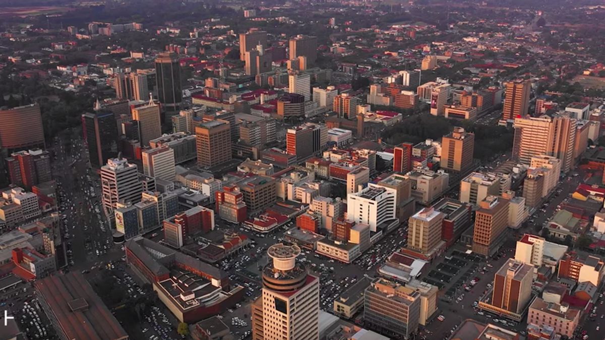
Google also said that Google Earth also managed to record the earth's area, which covers 57.9 million kilometers of the earth's surface via satellite. That means, Google Earth has mapped 98 percent of the area where the human population lives. Thus, very few human habitation has not been recorded by Google satellites.

"Apart from being able to show us parts of the world we may never visit, these photos also help Google Maps to accurately model a world that changes every day," said Thomas Escobar, Google Maps Senior Product Manager.
Google Street View itself is a Google project to display interactive panoramas from Google Maps and Google Earth , which has been running for 12 years. This project aims to map the world as a whole.
The results from the image collection are used to present a map feature on Google Maps that is more accurate and describes clearly the situation and condition of the location. This effort also allows Google Maps to become a reference for getting the best road routes for motorists, bicycles, pedestrians, motorbikes, and users of public transportation.

Google Challenge
Not infrequently in mapping the roads in the world, Google faces challenges. Moreover, the road cannot be crossed by Google Street View cars.
To anticipate this, Google has assistance by hiring pedestrians who are equipped with backpacks containing cameras to collect photos or videos from locations that are not reached by vehicles.
.gif)
And if cars cannot be used in certain fields, Google will not hesitate to put cameras on ships, sheep, camels, reconnaissance troops, and many more to get the job done.
"In 2019 alone, data obtained from the Google Maps community helped you determine the exact addresses of the 7 million previously unmapped buildings in places such as Armenia, Bermuda, Lebanon, Myanmar, Tonga, Zanzibar and Zimbabwe," continued description in the post.
The English, Chinese, Japanese, Arabic, and French versions are automatically generated by the AI. So there may still be inaccuracies in translating, please always see Indonesian as our main language. (system supported by DigitalSiber.id)


