

JAKARTA - Google Maps and Google Earth are making another major improvement by presenting sharper satellite images and expanding Street View content in nearly 80 countries. This update aims to provide a more accurate and satisfying visual experience for users around the world.
Starting this week, Google has implemented a new technology called Cloud Score+, an AI model capable of recognizing and removing elements such as clouds, cloud shadowing, fog, and kabus from satellite imagery. This technology ensures that natural weather elements such as snow, ice, and mountain shadowing remain visible, thus producing brighter and more realistic images. As a result, maps on Google Maps and Google Earth now have a more lively and more detailed earth view. One of the examples displayed is Toshka Lakes in Egypt, which looks much clearer after this update.
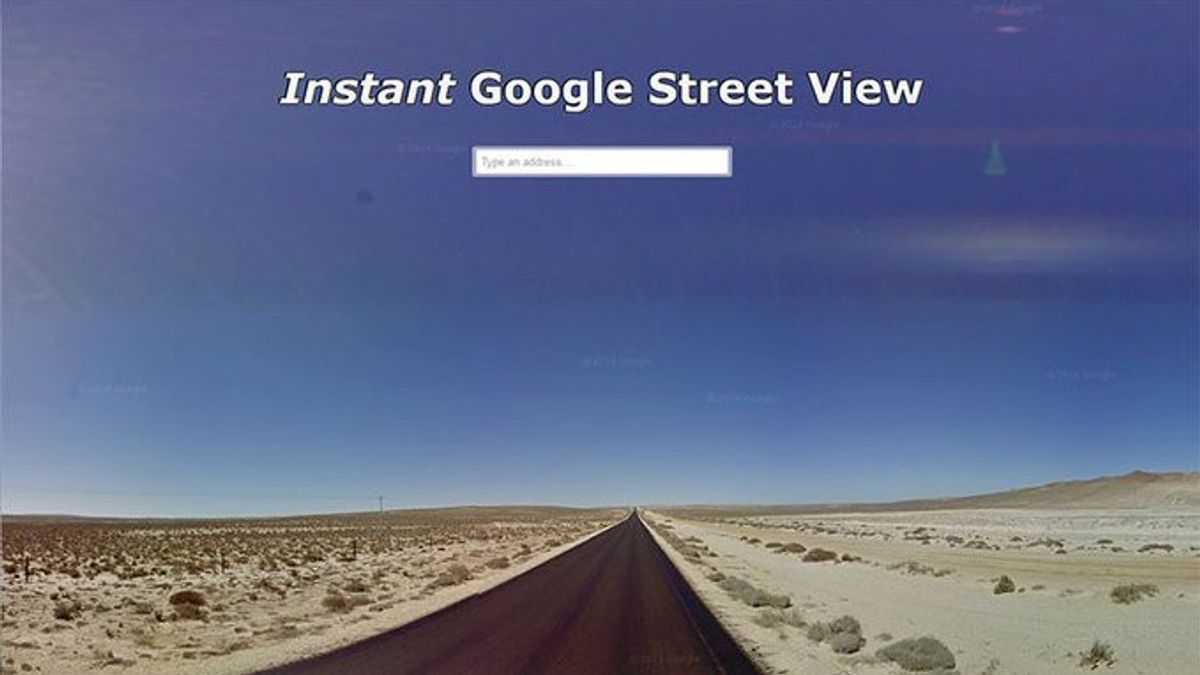
Not only that, major updates were also made in the Street View feature. Google launched new images in nearly 80 countries, with some of them receiving this service for the first time. New countries that can now enjoy Street View features including Bosnia, Namibia, Liechtenstein, and Paraguay. In addition, countries such as Australia, Argentina, Brazil, Japan, Mexico, Philippines, Denmark, and South Africa also received an expansion of image coverage.
SEE ALSO:
-
 | TEKNOLOGI
Resmikan NextHub Global Summit 2024, Menkominfo Dorong Investasi di Agritech dan Aquatech
24 September 2024, 20:04 -
 | TEKNOLOGI
TikTok Hapus Akun Media RT dan Sputnik karena Pengaruh Operasi Terselubung
24 September 2024, 19:35 -
 | TEKNOLOGI
Vitalik Buterin Klarifikasi Tak Punya Anjing, Harga Memecoin MISHA Anjlok Drastis
24 September 2024, 19:00 -
 | TEKNOLOGI
Kominfo Resmikan Pengoperasian Early Warning System di TV Digital
24 September 2024, 18:31 -
 | TEKNOLOGI
State of Play Sony Akan Disiarkan pada 25 September dengan Durasi 30 Menit
24 September 2024, 18:30
This Street View feature allows users to explore the streets of various cities around the world through 360-degree images, providing a more in-depth virtual browsing experience. For example, users in Brazil can now see image improvements in big cities such as Rio de Janeiro and Srypto Paulo, while in Asia, Japan and the Philippines also get significant updates.
In addition, Google Earth will also add access to historical imagery spanning up to 80 years, both for web and mobile users. This historical image includes satellite and aerial photos, allowing users to see how an area has changed over time. For example, Google displayed a black and white image of San Francisco in 1938, which was taken by a pilot from stopby Airport. In this image, the port of San Francisco that used to function for industry has now turned into a tourist center with restaurants and cruise ships.
With the improvement of satellite image technology and the expansion of Street View, Google continues to be committed to providing a better and more informative map and navigation experience for its users around the world. This update is expected to provide wider benefits, both for individual users, researchers, and business sectors that rely on accurate geospatial data.
The English, Chinese, Japanese, Arabic, and French versions are automatically generated by the AI. So there may still be inaccuracies in translating, please always see Indonesian as our main language. (system supported by DigitalSiber.id)
Most Popular Tags
#Prabowo Subianto #donald trump #2026 World Cup #Febrie Adriansyah #8791Popular


