JAKARTA - The Indonesian Navy's Hydro-oceanography Center (Pushidros TNI AL) has found a safety hazard for navigation and shipping in the Bangka Strait in the form of a ship's skeleton at a depth of 7.5 meters.
"This finding is in the vicinity of the recommended track for the Bangka Strait shipping lane, so it has the potential to endanger shipping crossings in the channel," said Pushidrosal Commander, Vice Admiral TNI Agung Prasetiawan, quoted by Antara, Wednesday, September 15.
The skeleton of the ship found at a depth of 7.5 meters has a length of 132 meters and a width of 15 meters. The skeleton of the ship was found in a condition that had been overgrown with coral reefs.
Agung said the findings originated from a report by the United Kingdom Hydrographic Office (UKHO) regarding the presence of two ships rubbing against the seabed (touching bottom / grounding) in the Bangka Strait, namely the MV Hyundai Anterp with the Marshall Island flag in November 2020 and the Norwegian-flagged MV Posidana in November 2020. February 2021.
Based on the report, based on considerations for the safety of navigation and shipping, Pushidros TNI AL as the National Hydrographic Institute, has published Indonesian Seafarers' News (BPI) No. 18 on April 30.
The team took swift steps by sending an Immediate Response Survey Team, and KRI Pollux-935 to carry out an investigative survey in the Bangka Strait at that location.
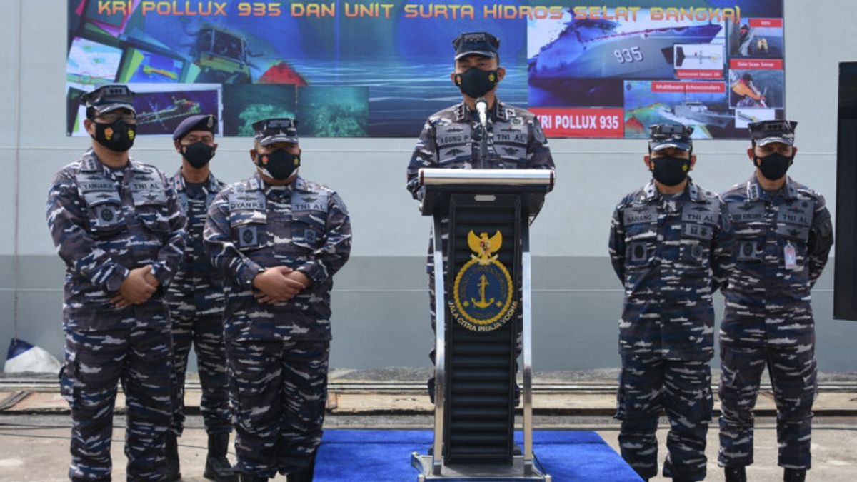
KRI Pollux-935 is a survey ship which was recently inaugurated by the Chief of Staff of the Indonesian Navy, Admiral Yudo Margono, to enter the ranks of the Indonesian Navy's Pushidros. Through this investigative survey, the ship's skeleton was found in the Bangka Strait.
"Regarding the findings, Pushidrosal will immediately issue a 34th week BPI update regarding Changes to Replacement of Old Data, which was originally 8.6 meters to 7.5 meters," said the Pushidrosal commander.
Then, KRI Pollux was used to carry out further investigations with Sidescan Sonar equipment and visual confirmation using a Remotely Operated Vehicle (ROV).
The results of the visual confirmation, said the Pushidrosal commander, found traces of the letters A and G on the stern of the ship's skeleton, which indicated the ship was an MV. Pagaruyung which has sunk in September 2003.
"From the visual observation of the overall condition of the ship building, almost the entire ship building is densely overgrown with coral reefs inhabited by various types of fish and other marine biota," he added.
The national waters are strategic shipping lanes and some of the waters are congested shipping lanes. The Bangka Strait is one of the government's priority straits, as stated in Presidential Regulation Number 16 of 2017 concerning Indonesian Marine Policy (KKI).
The Pushidrosal will gradually continue to update navigation and shipping map data through hydro-oceanographic mapping surveys along the Bangka Strait channel.
"Pushidrosal as an institution that carries out government functions in the implementation of navigation and shipping safety through the publication of paper and electronic marine maps, as well as other nautical publications, will always strive to present maps for the benefit of navigation and shipping that are accurate and reliable in other national waters," said Agung. .
The English, Chinese, Japanese, Arabic, and French versions are automatically generated by the AI. So there may still be inaccuracies in translating, please always see Indonesian as our main language. (system supported by DigitalSiber.id)


