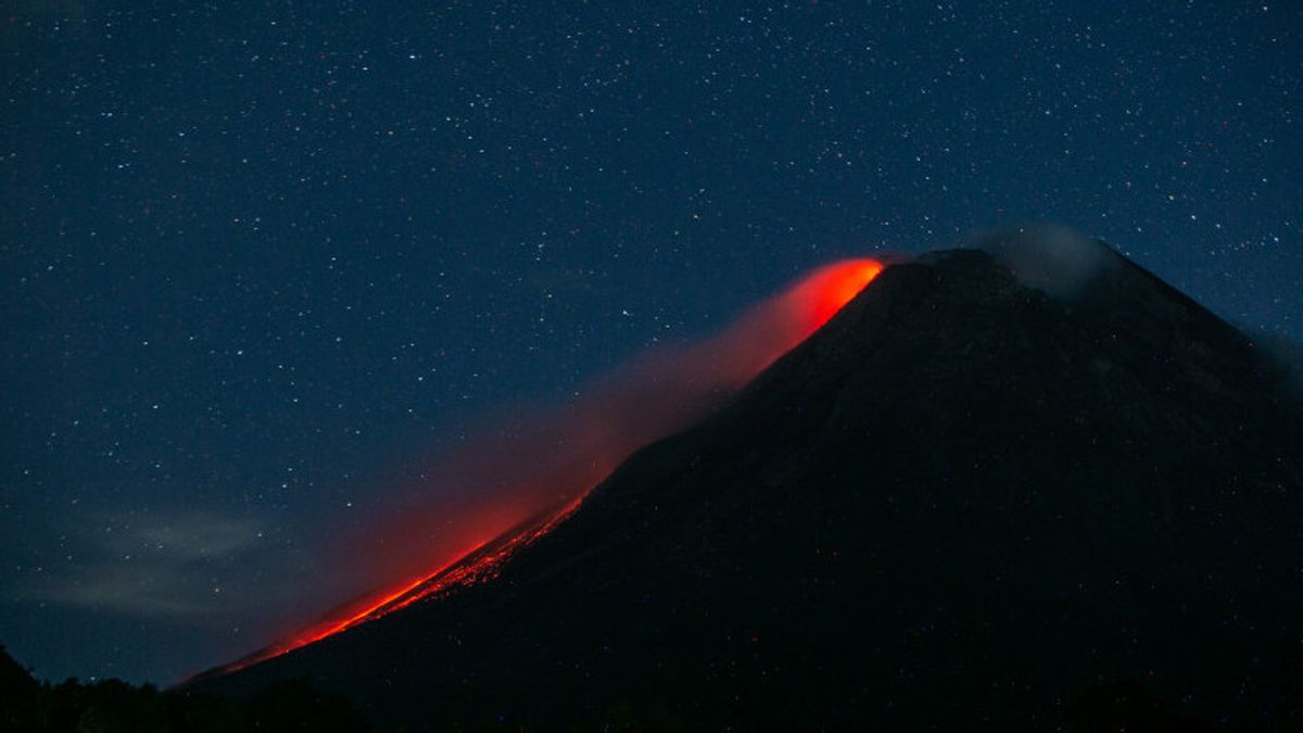


YOGYAKARTA - Mount Merapi on the border of the Special Region of Yogyakarta and Central Java, on Monday, September 6 at 00.00 to 06.00 WIB, launched 19 times incandescent lava with a maximum sliding distance of 1,000 to 1,500 meters to the southwest.
According to the Head of the Geological Disaster Technology Research and Development Center (BPPTKG) Hanik Humaida, during that period Merapi also experienced 38 earthquake avalanches with an amplitude of 3-17 mm for 14-139 seconds, 25 earthquake gusts with an amplitude of 3-5 mm for 8-24 seconds. 13 seconds, 35 low-frequency earthquakes with an amplitude of 3-7 mm for 7-15 seconds, and two multi-phase earthquakes with an amplitude of 5-24 mm for 5 seconds.
"During the observation period Monday morning, the smoke from the crater of Mount Merapi was observed to be white with moderate to thick intensity and 50 meters high above the crater peak," said Hanik in an official statement quoted by Antara, Monday, September 6.
During the observation period on Sunday, September 5, at 18.00-24.00 WIB, Mount Merapi was recorded 11 times launching incandescent lava with a maximum sliding distance of 1,000-2,000 meters to the southwest. According to BPPTKG, the status of Mount Merapi's activity is still at Level III or Alert.
The lava fall and hot clouds of Mount Merapi are estimated to have an impact on the south-southwest sector including the Yellow River, Boyong, Bedog, Krasak, Bebeng, and Putih.
In the event of an eruption, the ejection of volcanic material from Mount Merapi can reach a radius of three kilometers from the top of the mountain.
The English, Chinese, Japanese, Arabic, and French versions are automatically generated by the AI. So there may still be inaccuracies in translating, please always see Indonesian as our main language. (system supported by DigitalSiber.id)
Most Popular Tags
#Prabowo Subianto #donald trump #2026 World Cup #Febrie Adriansyah #8791Popular


