

JAKARTA - The Meteorology, Climatology and Geophysics Agency (BMKG) has conducted an analysis of Tropical Cyclone Nuri on Friday 12 June at 19.00 WIB, which was updated at 21.18 WIB.
Based on the analysis, it was found that the Nuri Tropical Cyclone with a power of 35 knots (65 kilometers per hour) was at the coordinates of 16.8 North Latitude and 117.2 East Longitude in the South China Sea, west of the Philippines and about 1,500 kilometers north of Tarakan, North Kalimantan.
According to predictions for the next 24 hours, the intensity of Tropical Cyclone Nuri will increase and will continue to move with a force of 45 knots (85 kilometers per hour), towards the northern part of the South China Sea at 20.0 N and 113.6 East Longitude, or about 1,910 kilometers north-west. Tarakan, North Kalimantan.
"Although it is predicted that it will move away from Indonesian territory, Tropical Cyclone Nuri is also predicted to have an impact on the weather in Indonesia," said Head of the BNPB Disaster Information and Communication Data Center Raditya Jati in an official statement, Saturday, June 13.
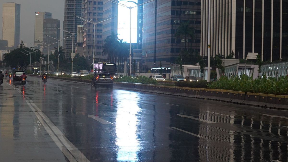
The impacts that can be generated include moderate to heavy rain in the regions of Aceh, North Sumatra, North Kalimantan and Central Sulawesi.
Then also sea waves with a height of 1.25 - 2.5 meters in the North Natuna Sea, waters of the Anambas Islands, Natuna Sea, West Waters of the Lingga Islands to Bintan Islands and Karimata Strait.
The BMKG also detailed areas that have the potential for heavy rain, accompanied by lightning and strong winds / tornadoes for Saturday (13/6), covering Aceh, North Sumatra, Bengkulu, Lampung, Banten, West Java, East Java, North Kalimantan. .
Furthermore, East Kalimantan, South Kalimantan, North Sulawesi, Gorontalo, Central Sulawesi, Southeast Sulawesi, North Maluku, Maluku, Papua and West Papua.
Then for Mingu (14/6) includes Aceh, North Sumatra, East Java, East Kalimantan, South Kalimantan, Gorontalo, Central Sulawesi, Southeast Sulawesi, North Maluku and Papua.
Meanwhile, areas with the potential for rain, which can be accompanied by lightning / lightning and strong winds / whirlwinds, are Lampung and West Java.
Seeing the results of the BMKG's analysis, the National Disaster Management Agency (BNPB) appealed to the people in these locations to stay alert, prepare and take preventive measures so as to minimize the risk of disasters that can be triggered by natural events.
In addition, BNPB also requested that regional policymakers take immediate preventive steps by increasing capacity, strengthening community resilience and always being prepared to face all the impacts of the Nuri Tropical Cyclone.
The English, Chinese, Japanese, Arabic, and French versions are automatically generated by the AI. So there may still be inaccuracies in translating, please always see Indonesian as our main language. (system supported by DigitalSiber.id)
Most Popular Tags
#Prabowo Subianto #donald trump #2026 World Cup #Febrie Adriansyah #8791Popular


