

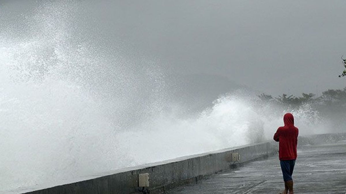


JAKARTA - The Meteorology, Climatology and Geophysics Agency (BMKG) issued an early warning regarding the potential for high waves in a number of Indonesian waters on Tuesday, April 14, starting at 07.00 WIB.
BMKG estimates that the height of the waves can reach up to 4 meters, especially in the northern Pacific Ocean area of Papua. This condition is influenced by the wind pattern which is quite strong in some water areas.
In the northern region, the wind blows from southwest to northwest with a speed of 10-35 knots. Meanwhile, in the southern region, the wind moves from southeast to southwest with a speed of 7-24 knots. The highest wind speed is observed in the waters of the north Pacific of West Papua to Papua.
BMKG recorded at least 17 areas potentially experiencing waves of 1.25 to 2.5 meters, including the waters of western Aceh, Nias Islands, Mentawai Islands, Bengkulu, Lampung.
In addition, the southern regions of Banten, West Java, DI Yogyakarta, East Java, Bali, NTB, to NTT. In addition, the Maluku Sea and the northern Pacific waters of Maluku, West Papua, and West Papua are also included in this category.
Meanwhile, higher waves, ranging from 2.5 to 4 meters, have the potential to occur in the waters north of Papua which borders directly on the Pacific Ocean.
BMKG urges fishermen, ship operators, and coastal communities to increase vigilance against potential shipping safety risks.
"High waves can endanger activities at sea, especially for small to medium-sized vessels," said the BMKG warning.
The English, Chinese, Japanese, Arabic, and French versions are automatically generated by the AI. So there may still be inaccuracies in translating, please always see Indonesian as our main language. (system supported by DigitalSiber.id)


