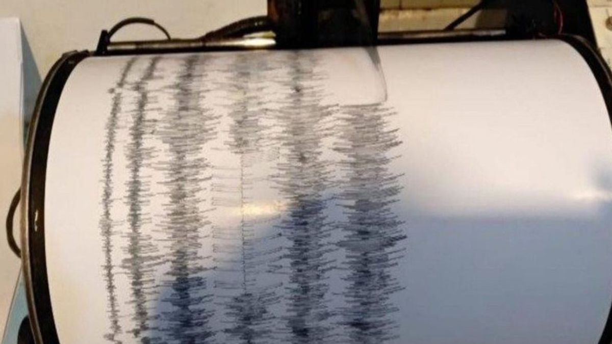


JAKARTA - The Bureau of Meteorology, Climatology, and Geophysics (BMKG) recorded three aftershocks after an earthquake of 6.7 magnitudes (after the update) shook West Nias, North Sumatra.
Head of BMKG Earthquake and Tsunami Center Bambang Setiyo Prayitno said that until Friday, May 14 at 14.30 WIB, BMKG monitoring results showed aftershock activity.
Earlier, a 6.7 magnitude tectonic earthquake shook the Indian Ocean region of the West Coast of Sumatra on Friday, May 14 at 1:33 p.m. The earthquake is not potentially a tsunami.
The epicenter was located at coordinates 0.2 North Latitude (LU) and 96.69 East Longitude (BT), or precisely located in the sea at a distance of 125 kilometers (km) southwest of Lahomi City, West Nias Regency, North Sumatra at a depth of 10 km.
By paying attention to the location of the epicenter and the depth of the hypocenter, the earthquake that occurred is a type of shallow earthquake that is in the outer-rise zone, and the earthquake has a mechanism of fault down (a normal fault).
The earthquake shock was felt in Gunung Sitoli, Nias III-IV MMI Regency (if during the day felt by the crowds in the house), Banda Aceh III MMI (vibration felt real in the house, felt as if the truck passed), Aek Godang, Aceh Tengah II MMI (vibration felt by some people, light objects hung swaying).
Until now there have been no reports of damage caused by the earthquake.
People are encouraged to remain calm and unaffected by issues that cannot be accounted for.
People are encouraged to avoid buildings that are cracked or damaged by the earthquake and to ensure that residential buildings are sufficiently earthquake resistant or there is no damage from earthquake vibrations that endanger the stability of the building before returning to the house.
The English, Chinese, Japanese, Arabic, and French versions are automatically generated by the AI. So there may still be inaccuracies in translating, please always see Indonesian as our main language. (system supported by DigitalSiber.id)
Most Popular Tags
#Prabowo Subianto #donald trump #Febrie Adriansyah #8791 #giias 2026Popular


