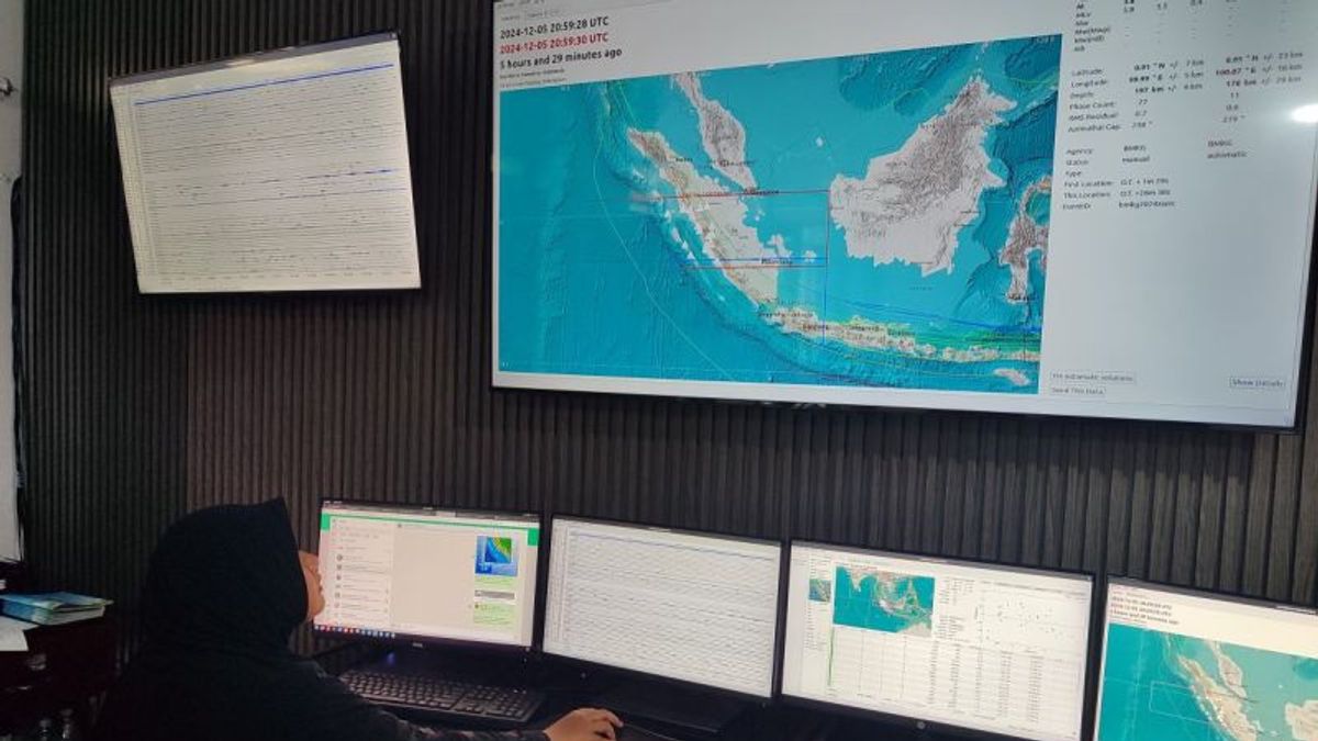
BENGKULU - The Meteorology, Climatology and Geophysics Agency (BMKG) of the Kepahiang Geophysics Station said that 1,438 earthquakes with different magnitudes in Bengkulu in the period since January 2024 were normal.
First Meteorology and Geophysics Observer (PMG) Muhammad Najib said this was because Bengkulu Province was in the subduction zone which was two or more tectonic plates on each other so that one of the plates infiltrated the earth's stomach.
"With the occurrence of earthquakes in Bengkulu Province, it is normal because Bengkulu itself is in the subduction zone and there are several active faults," he said.
For this reason, his party continues to appeal to the people in Bengkulu Province if an earthquake occurs so as not to panic and always be ready.
Then stay alert and don't panic and don't easily believe information from outside regarding the seismicities that occur.
And can understand earthquake disaster mitigation measures and always prepare to evacuate if at any time they feel an earthquake and are not provoked by irresponsible information or issues.
SEE ALSO:
Meanwhile, explained Najib, related to hundreds of earthquakes that occurred in Bengkulu Province most often occurred in the Enggano Islands, North Bengkulu Regency, Mukomuko Regency, Seluma Regency, South Bengkulu Regency and others.
The biggest earthquake occurred in Bengkulu Province with a magnitude of 6.3 on Enggano Island, North Bengkulu Regency and the smallest with a magnitude of 1.9.
He explained that from the earthquake activity felt by the community, there was no infrastructure damage caused by the earthquake activity.
With an average earthquake of around 45 earthquakes in one month, earthquake activity in the Bengkulu area is still relatively normal.
The English, Chinese, Japanese, Arabic, and French versions are automatically generated by the AI. So there may still be inaccuracies in translating, please always see Indonesian as our main language. (system supported by DigitalSiber.id)


