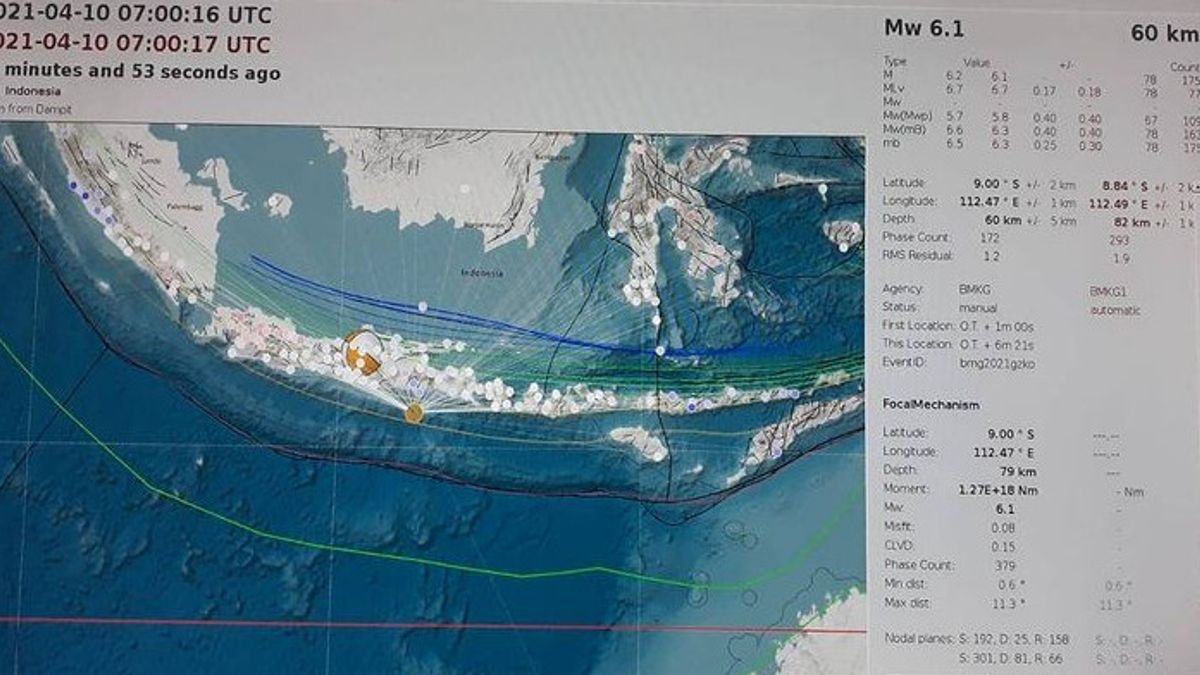


JAKARTA - The Bureau of Meteorology, Climatology and Geophysics (BMKG) updated the strength of the Malang earthquake in East Java from a magnitude of 6.7 to a magnitude of 6.1.
Malang earthquake is located at coordinates 8.83 LS and 112.5 BT, or precisely located in the sea at a distance of 96 km south of Kepanjen City, Malang Regency, East Java. The depth of the earthquake was 80 km.
"By considering the location of the epicenter and the depth of the hypocenter, the earthquake that occurred is a type of intermediate earthquake due to subduction activity. The results of the analysis of the source mechanism show that the earthquake has a thrust fault mechanism," said Head of BMKG Earthquake and Tsunami Center, Bambang Setiyo Prayitno, Saturday, April 10
BMKG said the earthquake felt the shock to Bali. The earthquake shock was felt in Turen V MMI area or the tremor was felt by almost everyone, Karangkates, Malang, Blitar, Kediri, Trenggalek, Jombang, Nganjuk, Ponorogo, Madiun.
Earthquake shocks were also felt in Ngawi, Yogyakarta, West Lombok, Mataram, Kuta, Jimbaran, Denpasar, Mojokerto, Klaten, North Lombok, Sumbawa, Tabanan, Klungkung, Banjarnegara II MMI.
"Until now there have been no reports of damage caused by the earthquake. The modeling results show that this earthquake is not potentially a tsunami," bambang continued.
The English, Chinese, Japanese, Arabic, and French versions are automatically generated by the AI. So there may still be inaccuracies in translating, please always see Indonesian as our main language. (system supported by DigitalSiber.id)


