JAKARTA - The National Disaster Management Agency (BNPB) opened a post for complaints of missing victims due to the eruption of Mount Lewotobi Laki in East Flores, East Nusa Tenggara.
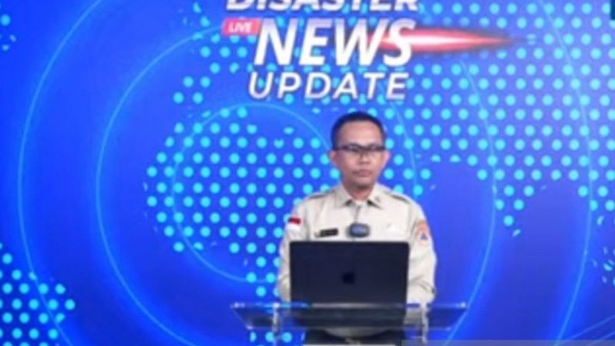
"For residents who feel that their family members are still missing, they can immediately report to the post in East Flores," said Head of the BNPB Disaster Data, Information and Communication Center Abdul Muhari at a press conference in Jakarta, Antara, Monday, November 4.
Abdul explained that as of 10.20 WIB there were 10 victims who had been collected. Nine of them have been successfully evacuated by a joint SAR officer team and one is missing in the search process.
The missing victim is thought to have been buried by a house that collapsed due to the eruption of Mount Lewotobi Laki's volcanic material which was at a radius of 4 kilometers from the peak of the eruption.
In addition, BNPB also confirmed that currently 2,735 families or 10,295 residents were evacuated. They are residents of 14 villages within the administrative areas of Ile Bura, Titehena, and Wulangitang sub-districts, East Flores.
"The search and evacuation process is still ongoing," he added.
Mount Lewotobi Men erupted on Monday morning at 02.48 WITA. This eruption was recorded on a seismogram with a maximum amplitude of 17 millimeters and a duration of approximately three minutes five seconds.
The danger zone limit for community activities is at a radius of seven kilometers from the peak of Mount Lewotobi Laki whose status is announced to have increased from level III to level IV (Alert) by the Geological Agency of the Ministry of Energy and Mineral Resources, Monday morning.
The Geological Agency detailed that the increase in volcanic activity on Mount Lewotobi occurred in the last few days, previously on Friday (1/11) there was an eruption with an eruption column height of 1,500-2,000 meters at the peak. During this period, flood vibrations were also recorded in Dulipali Village, Ile Bura District, East Flores.
Geological Agency Volcano Observation Post Officers in Pululura Village, Walanggitang District found piles of lava material in the northeastern part which was very slow in movement, from the image of the Sentinel 2 satellite, material that could potentially become lava in the northern and eastern areas of the Lewotobi Men's Mount crater.
In fact, the latest measurements from officers using drones recorded lava flow distances are about 4.3 kilometers from the center of the crater of the volcano. The influence of slope slope and high lava temperature allows lava to move even though it is very slowly.
At the same time, there was also an increase in deep and shallow volcanic earthquakes, namely 119 deep volcanic earthquakes, 19 shallow volcanic earthquakes and 6 harmonic tremors that continued until Saturday (2/11). Previously, the average volcanic abundance was 10-12 times a day. Low-frequency earthquakes were still recorded during this period indicating a flow of magma to the surface.
SEE ALSO:
People who are within a radius of seven kilometers or closer, should also be aware of the potential for cold lava flooding in rivers that originate at the top of Mount Lewotobi Laki, in the event of high-intensity rain, especially the Dulipali, Padang Pasir and Nobo villages.
The English, Chinese, Japanese, Arabic, and French versions are automatically generated by the AI. So there may still be inaccuracies in translating, please always see Indonesian as our main language. (system supported by DigitalSiber.id)


