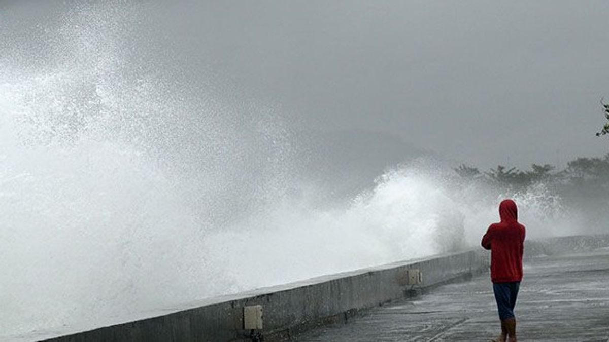


JAKARTA - The Meteorology, Climatology and Geophysics Agency (BMKG) issued an early warning regarding the potential for high waves of up to 4 meters on Monday, June 24 starting at 07.00 WIB.
Based on BMKG data, high waves between 2.5 meters to 4 meters are predicted to hit the Indian Ocean south of Banten to Central Java.
In addition to high waves, moderate waves as high as 1.25 meters to 2.5 meters will also hit a number of waters in Indonesia, including the waters of Manui kendari, south of Buru Island, the waters of the KAI Islands-Aru Islands, Tanimbar Islands, and Arafuru Sea.
Moderate waves are also predicted to hit the waters north of Sabang, the western waters of Aceh to the Mentawai Islands, the waters of Bengkulu to Enggano Island, the western waters of Lampung, the western Indian Ocean of Sumatra, the western and southern Sunda Strait, the southern waters of Java to Sumba Island.
SEE ALSO:
-
 | OPINI
Prabowo Subianto dan Ambisi Membawa Indonesia Kembali Menjadi Macan Asia
24 Juni 2024, 08:00


Also the southern Bali-Lombok-Alas Strait, Kupang-Pulau Rote waters, the Indian Ocean south of East Java to NTT, the eastern Java Sea, to the waters of the Wakatobi Islands.
The highest wind speed was observed in the southern waters of Banten, and the Indian Ocean south of Java.
The English, Chinese, Japanese, Arabic, and French versions are automatically generated by the AI. So there may still be inaccuracies in translating, please always see Indonesian as our main language. (system supported by DigitalSiber.id)
Most Popular Tags
#Prabowo Subianto #donald trump #2026 World Cup #venezuela #konflik timur tengahPopular


