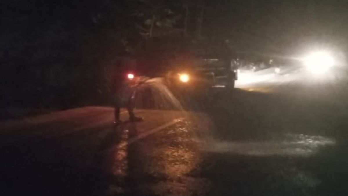
KUPANG - Officers of the East Flores Regional Disaster Management Agency (BPBD), East Nusa Tenggara (NTT), cleaned up the volcanic dust material of Mount Lewotobi Male scattered on the streets of Dulipali Village, Ile Bura District.
"Protects use water from BPBD's tank cars to clean up volcanic ash because the roads are very dusty," said Head of Emergency and Logistics Division of BPBD East Flores Regency Avelina Hallan as reported by ANTARA, Thursday, June 13.
Dulipali Village is one of the villages affected by volcanic ash from the eruption of Mount Lewotobi Laki.
Dust material scattered on the roofs of houses, trees, courtyards, and highways.
"Debu that is scattered on the streets makes the road very slippery and disrupts motorist activities, as well as affects the residents' respiratory system," he said.
BPBD East Flores Regency also made efforts to clean the streets by spraying water along the streets since Wednesday (12/6/) night until today.
"This is the first step to the village that is most affected first," he said.
Based on the identification of BPBD East Flores Regency, several villages in Wulanggitang and Ile Bura sub-districts became areas affected by volcanic ash from the eruption of Mount Lewotobi Laki.
In Wulangitang District, the affected villages are Klatanlo Village, Hokeng Jaya Village, Padang Pasir Preparation Village, Nawokote B Preparation Village, Nawokote Village, and Boru Village.
Meanwhile, the affected villages in Ile Bura District are Nobo and Dulipali villages.
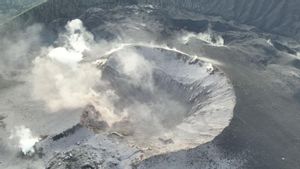
The East Flores Regency Government has set a natural disaster emergency alert status for the eruption of Mount Lewotobi Laki from June 10 to June 24, 2024.
SEE ALSO:
Various preparations were also made, such as preparing evacuation locations and logistics if the mountain experienced an increase in activity level to Level IV or Alert.
Currently, the activity level of Mount Lewotobi Male is at Level III or Alert.
The Geological Agency of the Ministry of Energy and Mineral Resources (ESDM) has recommended that people do nothing within a three-kilometer radius of the eruption center, as well as sectoral 4 kilometers in the north-northeast and 5 kilometers of the northeast sector.
The English, Chinese, Japanese, Arabic, and French versions are automatically generated by the AI. So there may still be inaccuracies in translating, please always see Indonesian as our main language. (system supported by DigitalSiber.id)
