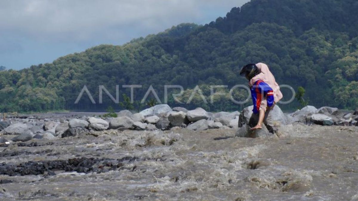


JAKARTA - Head of the Geological Agency of the Ministry of Energy and Mineral Resources (ESDM), Muhammad Wahid, warned of the potential for expansion of hot clouds and lava flows considering that the status of Mount Semeru is still at an alert level.
Wahid appealed firmly to the public, visitors and tourists not to carry out any activities in the southeast sector along Besuk Kobokan, as far as 13 kilometers from the eruption center.
"The recommendations we provide for Mount Semeru (3,676 meters above sea level) are that the community or visitors or tourists do not carry out any activities in the southeast sector along Besuk Kobokan, as far as 13 km from the summit (the center of the eruption)," Wahid said as quoted by ANTARA, Thursday, June 6.
His party has issued an appeal to people who are outside the distance not to carry out activities at a distance of 500 meters from the river bank (river border) along Besuk Kobokan.
SEE ALSO:


This is because this area has the potential to be affected by the expansion of hot clouds and lava flows up to a distance of 17 km from the summit.
The results of his analysis concluded that volcanic earthquakes and shallow deformation triggered small ash eruptions, lava flows or domes as a result of magma supply to the instability of the peak dome which resulted in hot clouds.
During the period 23-31 May 2024, the Geological Agency noted that Mount Semeru experienced 884 eruptions/eruption earthquakes, 27 avalanches, 99 gusts, 11 harmonic earthquakes, 2 deep volcanic earthquakes, 2 local tectonic earthquakes and 48 distant tectonic earthquakes.
The English, Chinese, Japanese, Arabic, and French versions are automatically generated by the AI. So there may still be inaccuracies in translating, please always see Indonesian as our main language. (system supported by DigitalSiber.id)


